

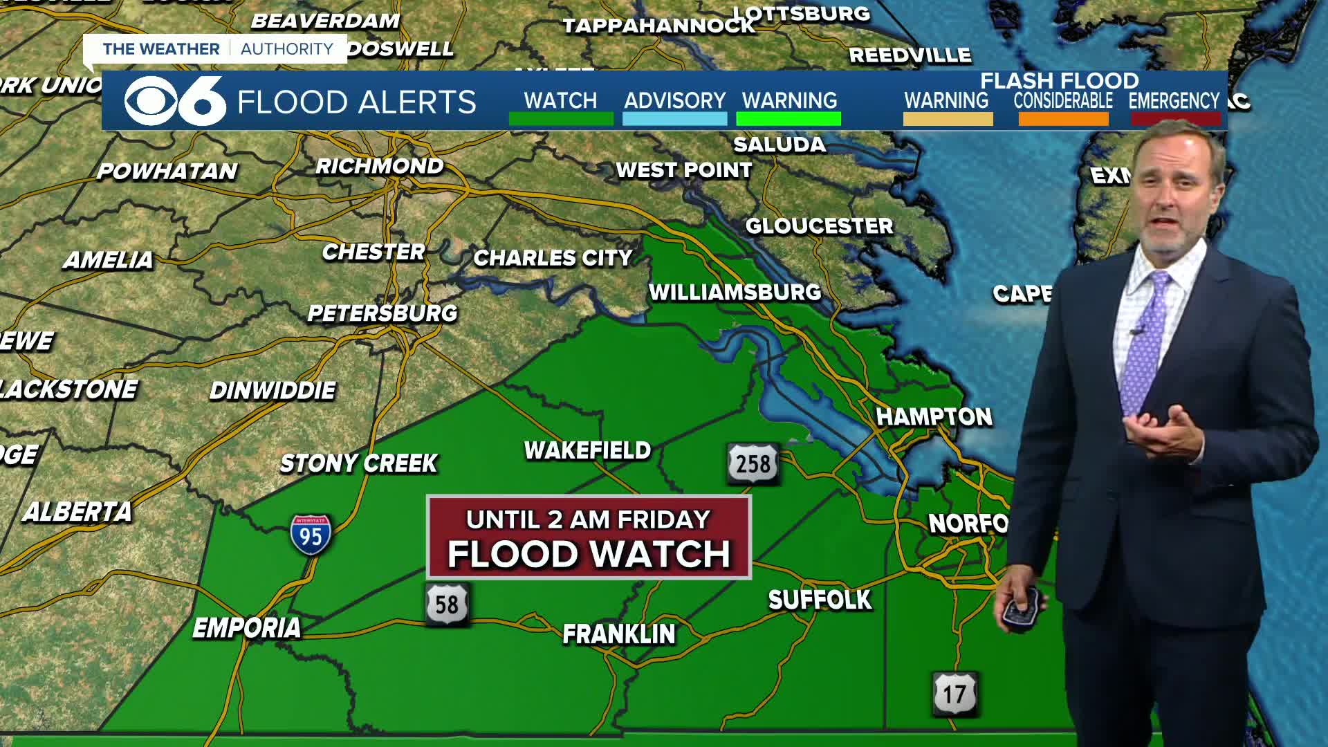

RICHMOND, Va. -- Tonight will be variably cloudy, warm, and humid, with isolated showers and storms ending before midnight. The most widespread rainfall will occur across southeast Virginia where a Flood Watch remains in effect.
Friday will be muggy with a few isolated storms possible. Highs will reach the upper 80s to around 90 degrees.
Saturday will be partly cloudy with the slight chance of a storm and highs in the upper 80s. Sunday will be mostly sunny and a little hotter with highs in the low 90s.
Highs next week will be in the lower 90s on Monday, the mid to upper 80s on Tuesday and Wednesday, and in the low to mid 80s on Thursday and Friday.
Tropical Storm Erin should become a hurricane Friday morning.
The hurricane will track to the northeast of the Bahamas, and most computer models curve the hurricane between the East Coast and Bermuda this weekend.
As of now, it looks like any impacts locally from Erin will just be rough surf and strong rip currents towards mid-week.
Another disturbance over the Bay of Campeche has a medium chance of trop
More information is available in the CBS 6 Hurricane Tracker.
Stay With CBS 6, The Weather Authority.
STORM TRACKING LINKS:
Weather Alerts
Interactive Radar
Map Center
Hurricane Tracker
Closings & Delays
📱 Download the new and improved CBS 6 Weather App for iPhone and Android.


