


RICHMOND, Va. -- The combination of high temperatures and humidity will create dangerous heat conditions through Friday, with some relief expected by Saturday as drier air moves into the region.
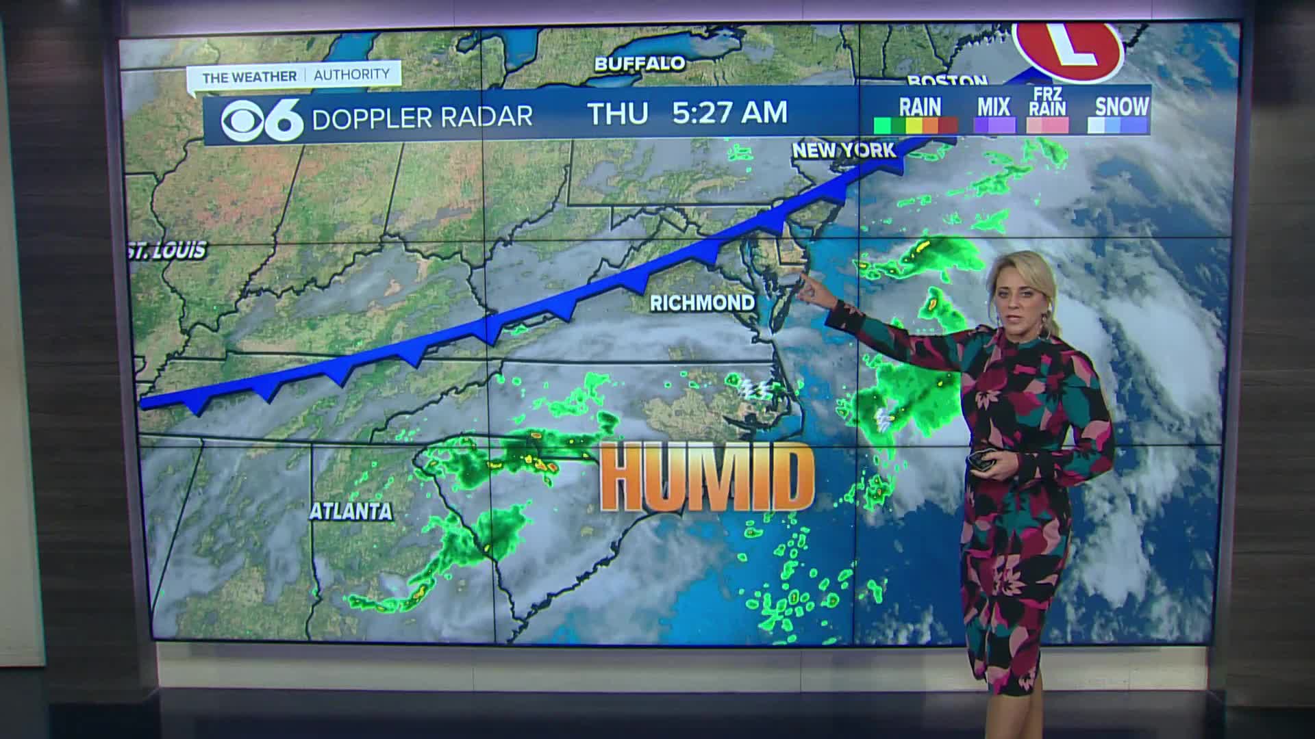
Thursday will be hot and muggy with scattered storms expected late afternoon into the overnight. Highs will be in the upper 80s and lower 90s, and the heat index will be near 100. Once again, any storm that develops will produce very heavy rainfall.
Friday will be muggy with isolated storms possible. Highs will range from the mid 80s far north, to the lower 90s south. The heat index will be around 100 in the metro.
Saturday will be partly cloudy with the slight chance of a storm and highs 85-90. Sunday will be mostly sunny with highs in the upper 80s/lower 90s.
Highs next week will be in the lower 90s Monday, the mid to upper 80s Tuesday and Wednesday, and in the low to mid 80s Thursday and Friday.
Tropical Storm Erin will track to the north of the Caribbean the next few days. The storm will be north of Puerto Rico by the weekend, and it is expected to become a major hurricane by Sunday.
Erin will track to the northeast of the Bahamas, and most computer models curve the hurricane towards Bermuda by the middle of next week.
As of now, it looks like any impacts locally from Erin will just be rough surf and strong rip currents towards mid-week.
More information is available in the CBS 6 Hurricane Tracker.
Stay With CBS 6, The Weather Authority.
STORM TRACKING LINKS:
Weather Alerts
Interactive Radar
Map Center
Hurricane Tracker
Closings & Delays
📱 Download the new and improved CBS 6 Weather App for iPhone and Android.


