


RICHMOND, Va. -- Tuesday will be muggy with variable cloudiness. A few showers are possible during the day. Highs will be 85-89, with a heat index in the low to mid 90s.
Tonight the Perseid meteor shower will peak with up to 100 shooting stars per hour, though many will be hidden this year in the glare of the 86%-lit waning gibbous moon and a bit of cloud cover.
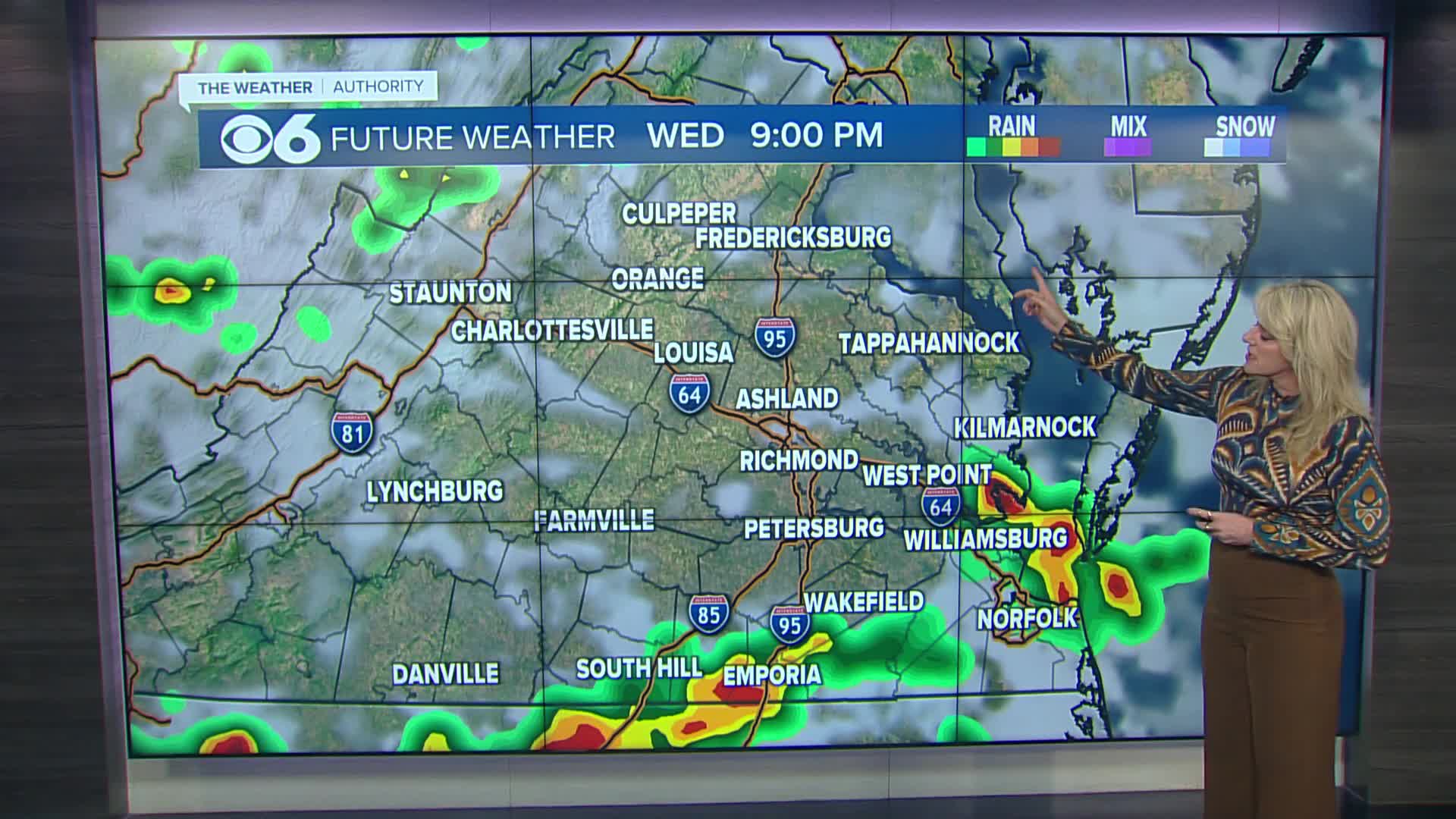
Scattered storms will be likely through the day on Wednesday with highs 85-90, and a heat index in the low to mid 90s.
Highs will get into the lower 90s Thursday and Friday as it stays quite muggy. A few storms are possible both days. The heat index will be near or a little above 100.
This weekend will remain muggy with highs near 90. A storm or two will be possible Saturday.
Tropical Storm Erin has formed in the eastern Atlantic. The storm will move westward and develop into a major hurricane. The forecast track brings Erin north of the Lesser Antilles by the weekend. Computer models after that point curve Erin to the north or northeast, taking the storm towards or west of Bermuda by the middle of next week. Further information is available in the CBS 6 Hurricane Tracker.
Stay With CBS 6, The Weather Authority.
STORM TRACKING LINKS:
Weather Alerts
Interactive Radar
Map Center
Hurricane Tracker
Closings & Delays
📱 Download the new and improved CBS 6 Weather App for iPhone and Android.


