


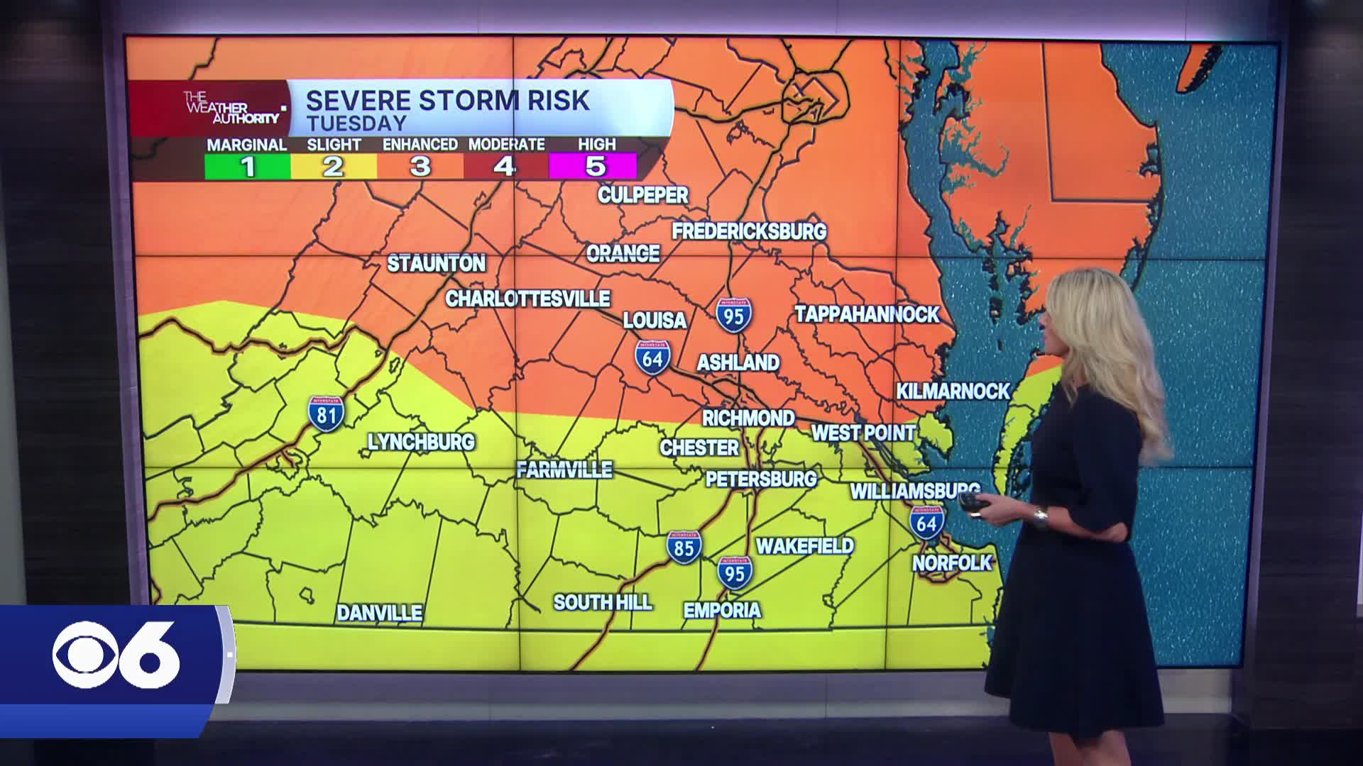

RICHMOND, Va. — Tuesday afternoon will turn hot, muggy and increasingly stormy across Central Virginia.
Strong to severe thunderstorms are expected late in the day into the evening with damaging wind gusts, torrential rainfall and a few isolated tornadoes possible. Localized flash flooding may develop where storms repeatedly track over the same areas.
The unsettled weather will continue Wednesday as a cold front slowly pushes through the region.
Additional showers and thunderstorms are likely and some storms could again become severe with strong winds and very heavy rainfall.
Flash flooding concerns will increase Wednesday into Wednesday night, especially in urban and poor-drainage areas. Rain totals of 2 to 5 inches are possible in some locations through Thursday.
Behind the front, drier and less humid air gradually returns Thursday and Friday. A few isolated showers may linger south and east, but many areas will turn cooler with highs in the low to mid 80s.
The weekend into next Monday looks quieter overall, with seasonable temperatures, lower humidity and only a slight chance for isolated afternoon storms.
Tropics: Tropical Storm Bertha has formed in the northeastern Gulf. It is expected to track westward along the Gulf coast. More information is in the CBS 6 Hurricane Tracker.
Stay With CBS 6, The Weather Authority.
STORM TRACKING LINKS:
Weather Alerts
Closings & Delays
Interactive Radar
Map Center
📱 Download the new and improved CBS 6 Weather App for iPhone and Android.


