


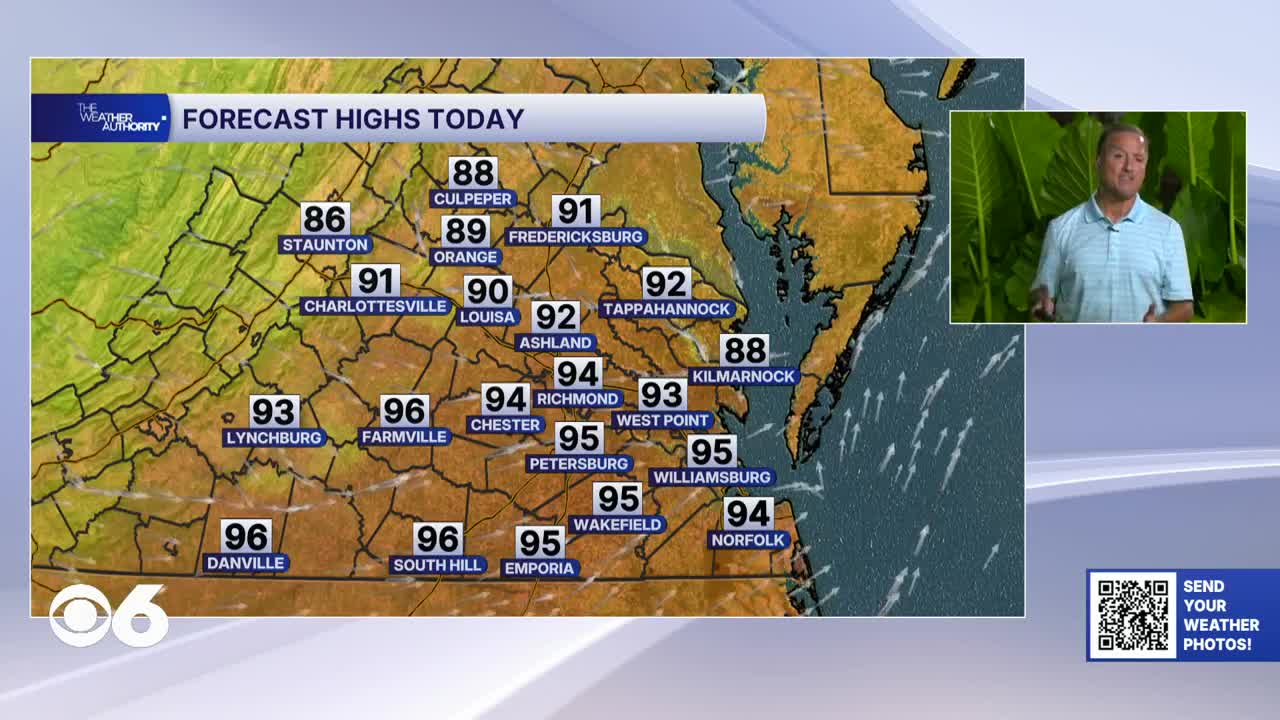

RICHMOND, Va. — Thursday will be very hot and humid, with highs in the low to mid 90s. The heat index could reach a range of 96 to 99 degrees in the hottest part of the day. An isolated shower or storm will be possible, especially north of Richmond.
A cold front will move through Virginia Friday morning, bringing the area a slight chance for a shower or storm. Highs will reach the mid 80s behind the front.
Showers and storms will be more numerous Saturday as the front stalls across the area. A low chance for a shower will continue into Sunday. Highs will remain in the 80s over the weekend.
An upper-level ridge will develop early next week, bringing dry and increasingly hot weather to the region. Highs will return to the 90s Tuesday, and could reach the mid 90s by next Thursday. Dry weather is expected through the period.
The Atlantic Basin remains very quiet, with no significant tropical disturbances.
Stay With CBS 6, The Weather Authority.
STORM TRACKING LINKS:
Weather Alerts
Closings & Delays
Interactive Radar
Map Center
CBS 6 Hurricane Tracker
📱 Download the new and improved CBS 6 Weather App for iPhone and Android.


