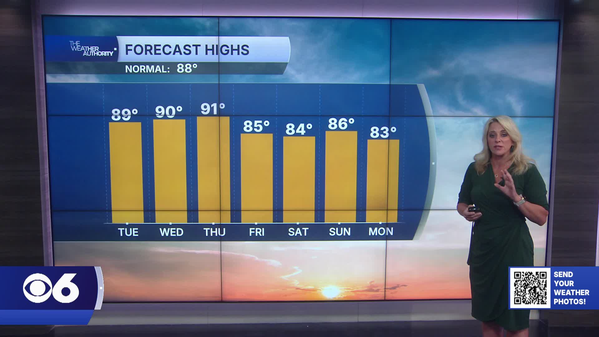

RICHMOND, Va. — Tuesday will stay very warm and humid with highs in the upper 80s to low 90s. Heat index values will approach 93-97° across parts of Central Virginia, while dangerous heat continues farther south into northeast North Carolina.
Most areas will stay dry, but a few isolated afternoon and evening storms are possible, especially along the coast and west toward the Virginia Piedmont.
Wednesday brings a brief break in storm chances with seasonable warmth and slightly lower humidity, especially west of I-95. Highs will remain near 90 degrees.
An increasingly active weather pattern develops late this week into the weekend.
Showers and thunderstorms return Thursday afternoon as a stronger cold front approaches the region.
The front is expected to slow down and stall nearby, bringing multiple rounds of rain and storms from Thursday through Saturday.
Some storms may produce heavy rainfall and localized flooding as tropical moisture increases. The entire region is now under a Marginal Risk for excessive rainfall through Saturday.
Temperatures trend cooler by the weekend with highs falling back into the low to mid 80s before drier air potentially arrives late Sunday into early next week.
The tropics remain quiet, with no significant disturbances in the Atlantic Basin.
Stay With CBS 6, The Weather Authority.
STORM TRACKING LINKS:
Weather Alerts
Closings & Delays
Interactive Radar
Map Center
CBS 6 Hurricane Tracker
📱 Download the new and improved CBS 6 Weather App for iPhone and Android.