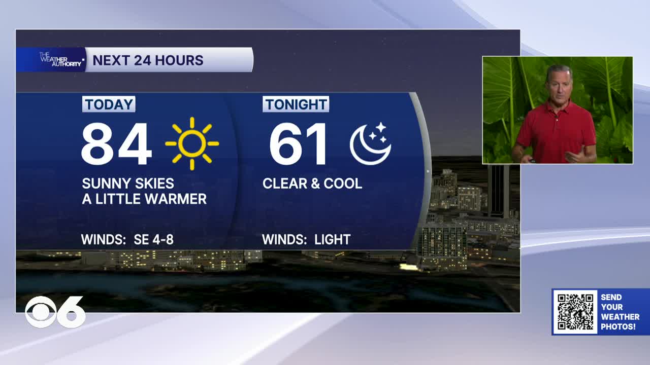

RICHMOND, Va. — Wednesday will be seasonably warm with mostly sunny skies, and very manageable humidity levels. Afternoon highs will rise into the low to mid 80s. Tonight will be clear and cool with a low in the lower 60s.
Thursday will be dry and warm with sunshine and slightly higher temperatures. Highs climb into the mid 80s while humidity still remains relatively comfortable for mid-September standards.
By Friday, summer-like warmth begins returning as high pressure shifts farther offshore and an upper ridge builds back into the eastern United States.
Highs will surge into the upper 80s and a few spots could approach 90 degrees. Humidity will slowly increase, though most of the day remains dry.
The best chance for rain arrives Friday night into Saturday as a cold front approaches the region.
Scattered showers and thunderstorms are possible Saturday and Sunday. While widespread severe weather is not expected right now, outdoor plans could face occasional interruptions from storms.
Stay With CBS 6, The Weather Authority.
STORM TRACKING LINKS:
Weather Alerts
Closings & Delays
Interactive Radar
Map Center
CBS 6 Hurricane Tracker
📱 Download the new and improved CBS 6 Weather App for iPhone and Android.