


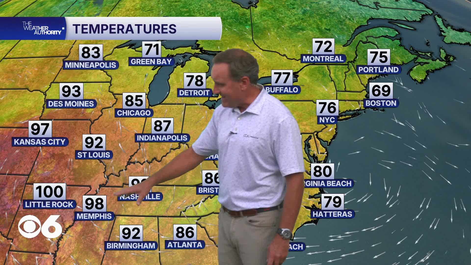

RICHMOND, Va. — Temperatures begin warming back above average Wednesday as winds shift out of the southwest. Highs will climb into the upper 80s but humidity values will still remain fairly comfortable through much of the day.
Thursday looks to be the hottest day of the week with highs reaching the lower 90s and a few spots potentially climbing into the mid 90s.
Humidity also increases making it feel noticeably hotter during the afternoon. Breezy southwest winds will develop and scattered showers and thunderstorms may arrive Thursday night into Friday morning as a cold front approaches.
The front slowly settles into the region Friday, bringing additional chances for scattered showers and thunderstorms especially during the afternoon and evening hours.
Into the weekend, the front weakens and lingers nearby keeping a slight chance for isolated showers and storms around Saturday.
Temperatures stay seasonably warm in the mid to upper 80s before rain chances gradually decrease by Sunday with a return to drier conditions.
The Atlantic Basin remains very quiet, with no significant tropical disturbances.
Stay With CBS 6, The Weather Authority.
STORM TRACKING LINKS:
Weather Alerts
Closings & Delays
Interactive Radar
Map Center
CBS 6 Hurricane Tracker
📱 Download the new and improved CBS 6 Weather App for iPhone and Android.


