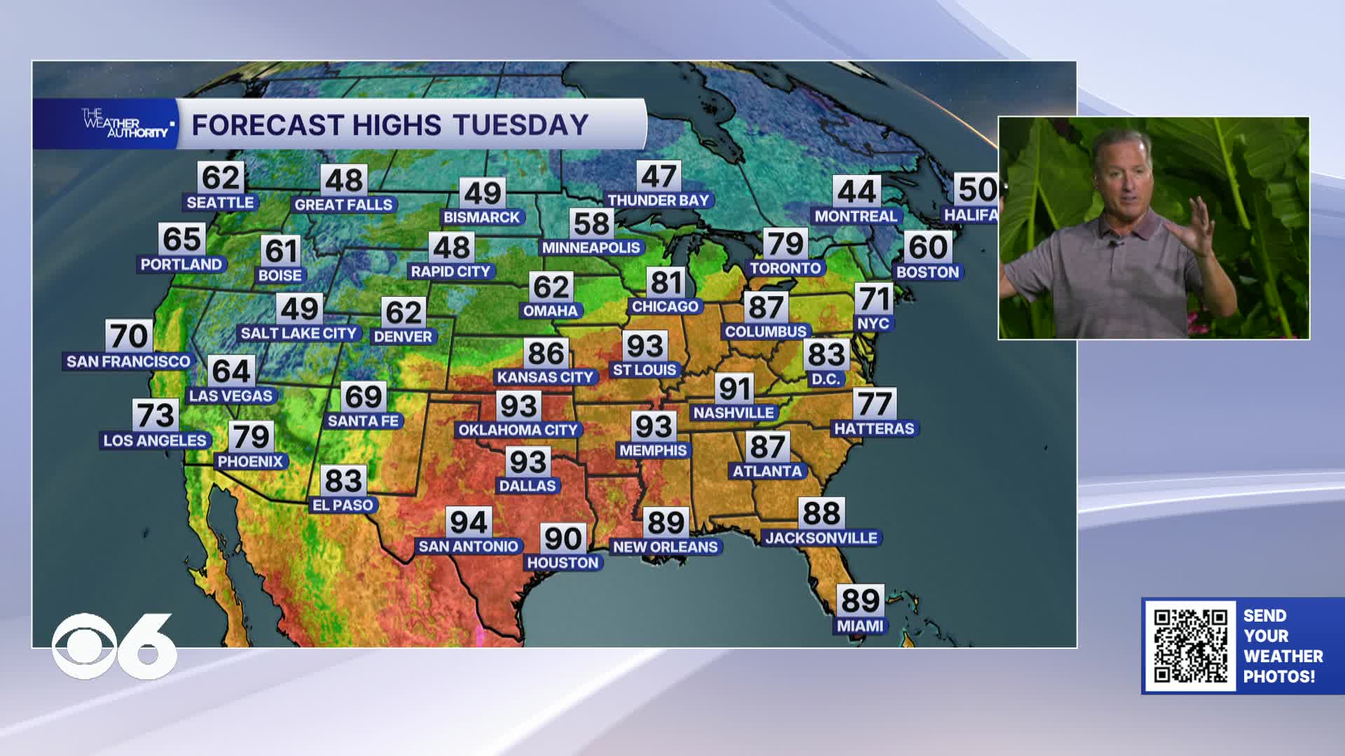

RICHMOND, Va. — Tuesday stays dry and comfortable with highs climbing into the low to mid 80s. Tonight will be clear and mild with a low in the lower 60s.
Wednesday will be the hottest day of the week and potentially one for the record books. Highs surge to the upper 80s to near 90° with record-breaking temperatures possible.
Thursday will be milder as a front moves through the area. A few showers will be possible.
Friday brings one more hot day with highs back in the mid to upper 80s before a significant pattern change arrives.
Saturday turns dramatically cooler as a strong cold front sweeps through the region. Expect mostly cloudy skies with isolated showers and highs struggling to reach the 60s for most. Some areas may stay stuck in the 50s all day.
Saturday night will be one to watch closely with the first Frost Advisory of the season is possible. Lows expected to drop to the upper 30s in the Piedmont and mid-40s near the coast.
Sunday stays cool with highs again in the 50s and the potential for a second frost Sunday night with lows possibly dipping to the low-to-mid 30s in some areas.
Stay With CBS 6, The Weather Authority.
STORM TRACKING LINKS:
Weather Alerts
Closings & Delays
Interactive Radar
Map Center
CBS 6 Hurricane Tracker
📱 Download the new and improved CBS 6 Weather App for iPhone and Android.