

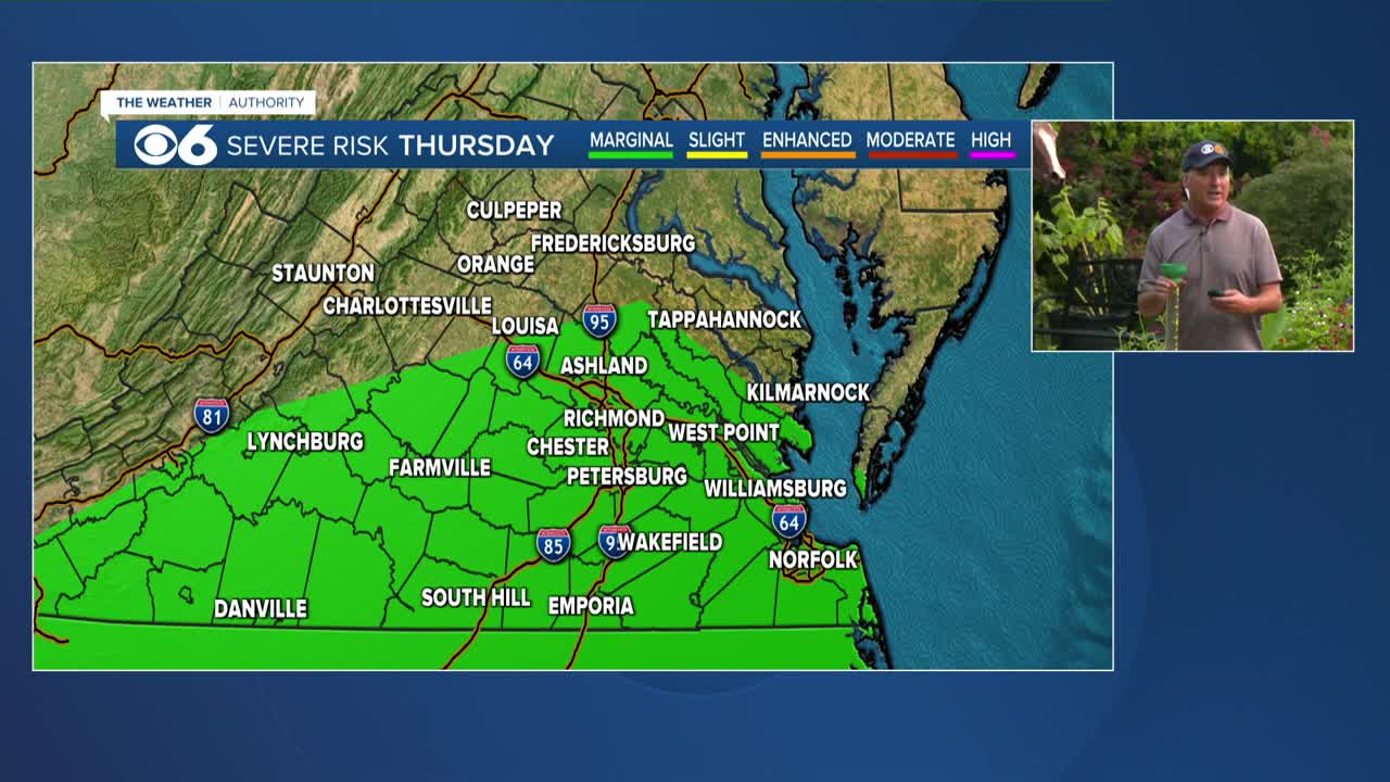

RICHMOND, Va. --More showers and storms will be possible Thursday afternoon and Thursday night. A Flood watch will be in effect through tonight. The high Thursday will be a very humid 86°.

It will stay very muggy the next few days with storms around in the afternoon and evening.
Highs will be in the upper 80s Thursday, and around 90 through the middle of next week.
Stay With CBS 6, The Weather Authority.
WATCH NOW: Live look at radar, current conditions across Virginia
STORM TRACKING LINKS:
Weather Alerts
Interactive Radar
Map Center
Hurricane Tracker
Closings & Delays
📱 Download the new and improved CBS 6 Weather App for iPhone and Android.

WTVR


