
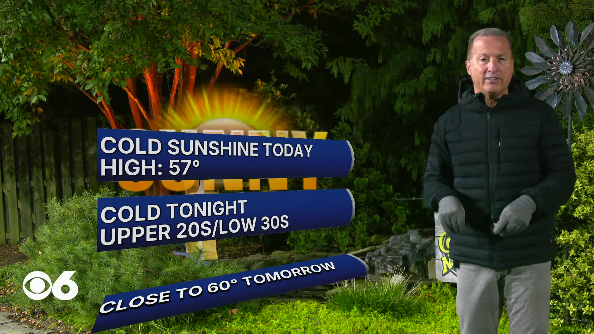

RICHMOND, Va. -- Monday brings a welcome break with sunny skies and lighter winds pushing highs into the upper 50s making it feel a touch warmer than the last couple of days.
Monday night sets up as one of the coldest nights of the stretch as high pressure moves almost directly overhead allowing temperatures to plunge to the mid 20s inland and the mid 30s near the coast by Tuesday morning.
Tuesday stays dry with highs climbing back to around 60.
A gradual warming trend takes hold through the rest of the week with mid 60s expected Wednesday and upper 60s Thursday through Saturday.
Morning lows will still dip into the 30s each day even as afternoons feel more comfortable.
No rain in the immediate forecast with dry high pressure firmly in control until late Saturday with some showers possible.
Stay With CBS 6, The Weather Authority.
STORM TRACKING LINKS:
Weather Alerts
Closings & Delays
Interactive Radar
Map Center
CBS 6 Hurricane Tracker
📱 Download the new and improved CBS 6 Weather App for iPhone and Android.