


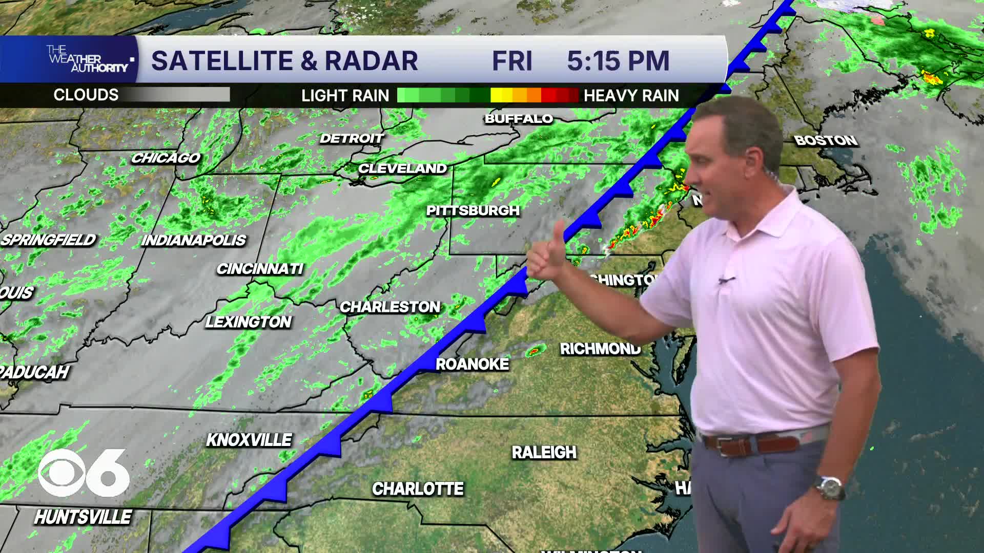

RICHMOND, Va. — A strong cold front will move through the region this evening, producing widespread showers and a few thunderstorms. Gusty winds are expected behind the front as well as in the vicinity of any storms that develop.
Saturday morning will have periods of steady rain, along with winds gusting over 25 mph. Daybreak temperatures will be 55-60° in the metro. Temperatures will fall, and will stay in the upper 40s and lower 50s through mid-afternoon. Drier air will move in from the northwest during the afternoon.
Sunday morning will be mostly clear and cold. Lows away from the coast will be 35-40°. A few colder outlying areas may dip into the lower 30s. Frost/freeze alerts are possible, but daybreak wind speeds may stay above 10 mph, limiting the risk of frost.
Sunday will be sunny with highs in the upper 50s and lower 60s.
An area of low pressure will be located off the Mid-Atlantic coast much of the week. This will keep breezy conditions at the coast, and well as the chance of coastal flooding. The low will move back and forth all week, and as it gets closer to our area, may bring a chance of showers, mostly east of I-95.
Highs will be in the 60s to lower 70s all week.
Stay With CBS 6, The Weather Authority.
STORM TRACKING LINKS:
Weather Alerts
Closings & Delays
Interactive Radar
Map Center
CBS 6 Hurricane Tracker
📱 Download the new and improved CBS 6 Weather App for iPhone and Android.


