



RICHMOND, Va. — Thursday will be the warmest day of the week with sunny skies and highs in the low to mid 80s. A cold front will arrive late Friday bringing slightly milder air to the region Friday.
High clouds will begin to move into the area Friday and will thicken Saturday ahead of Isaias.
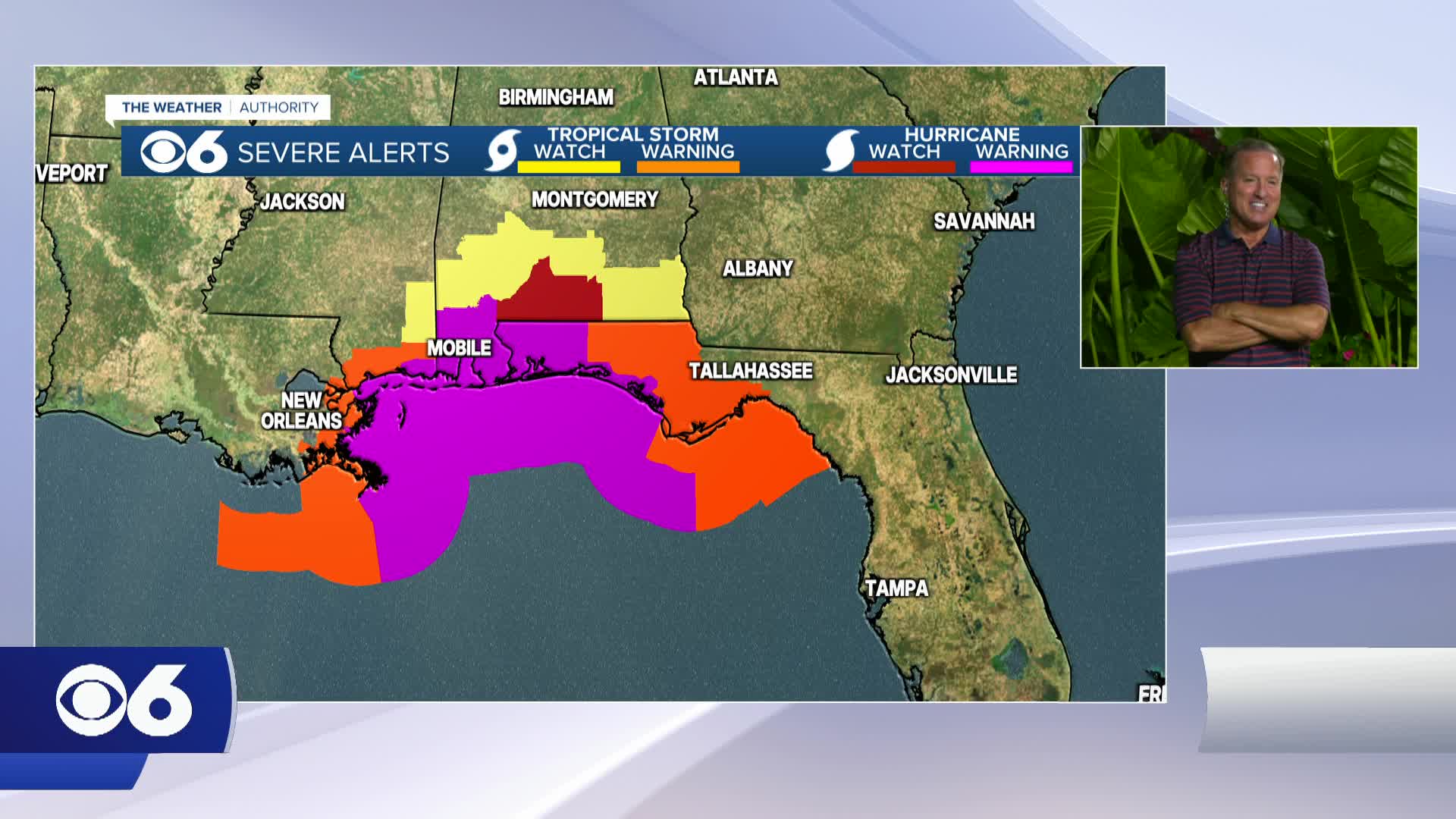
The storm is expected to strengthen to a hurricane before making landfall late this week along the northern Gulf Coast. This track would result in 1-2" of rain across a large part of Virginia, with locally 2-3" possible. Timing of the rain as of today would be mid-morning Sunday through Monday morning.
Stay With CBS 6, The Weather Authority.
STORM TRACKING LINKS:
Weather Alerts
Closings & Delays
Interactive Radar
Map Center
CBS 6 Hurricane Tracker
📱 Download the new and improved CBS 6 Weather App for iPhone and Android.


