


RICHMOND, Va. -- Patchy fog and drizzle will develop tonight as low level moisture remains trapped over the region.
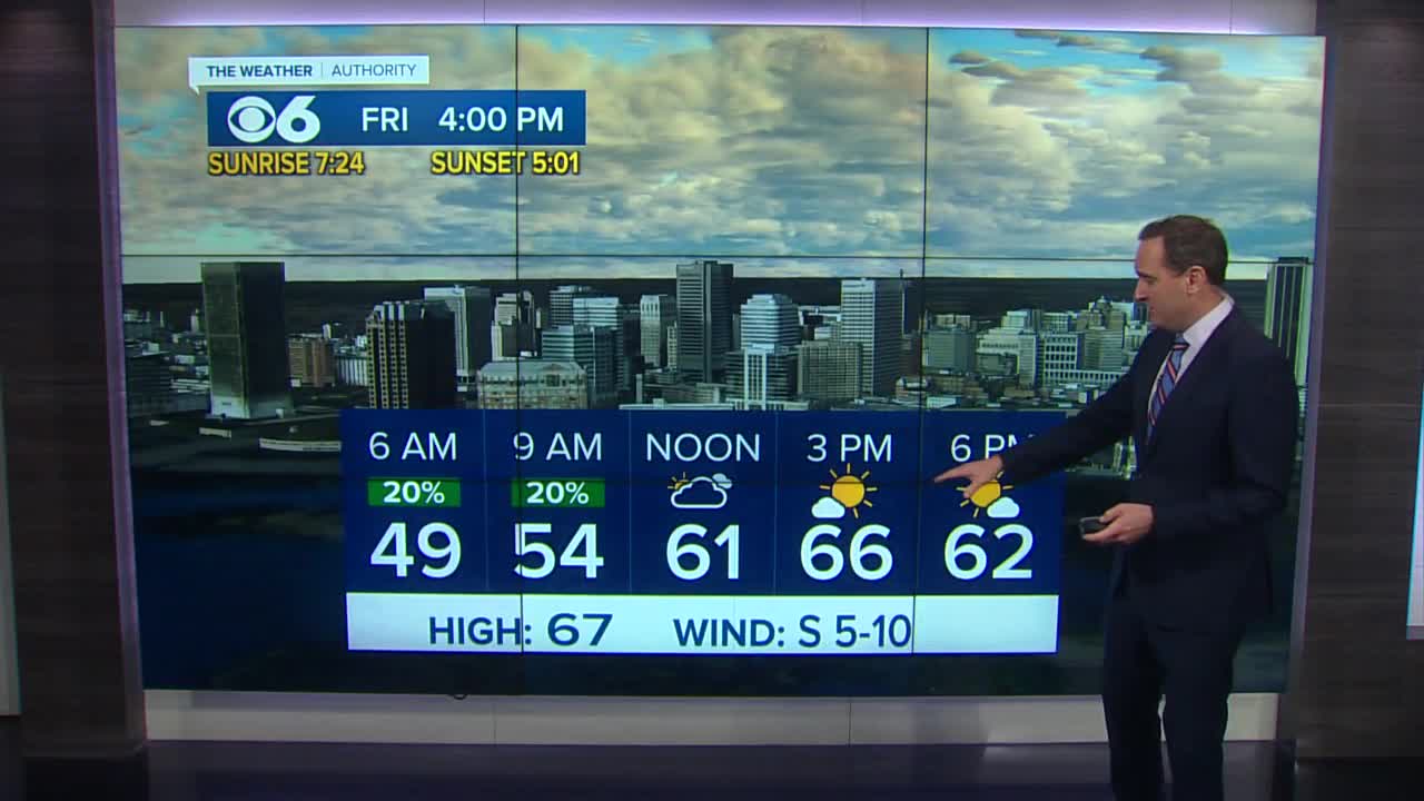
The clouds will stick with us early Friday, but some clearing is likely with highs returning to the mid 60s. We should ring in the New Year with variably cloudy skies and temperatures in the upper 50s around midnight. Rain will return to the area Saturday morning, with drier conditions in the afternoon.
A stronger storm system will bring rain to the area on Sunday. There is the potential for an area of low pressure to develop along the front, which could bring moisture farther north into the incoming cold air. This scenario would bring a transition from rain to wet snow early Monday morning. The rest of the day Monday will feature rapid clearing and much colder weather with highs in the 40s.
Seasonably cool and dry weather is expected Tuesday through Thursday of next week.
Stay with CBS 6, The Weather Authority
STORM TRACKING LINKS:
Weather Alerts
Interactive Radar
Map Center
Interactive Tropical Tracker


