Here's the latest on trick-or-treat Halloween forecast
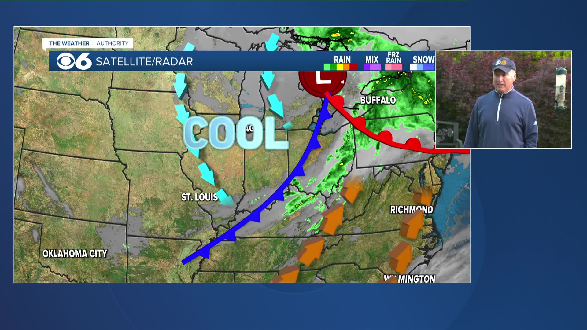
RICHMOND, Va. -- For Halloween, we'll be variably cloudy as we sit in-between two storm systems: one along the Carolinas coast, and another diving toward us from the northwest. Highs Friday will reach the low 60s in most areas, with upper 50s in the higher elevations.
A strong storm system diving south out of the Great Lakes will send us increasing clouds overnight and some scattered showers Saturday in central Virginia. I do not expect the day to be a wash-out, and the rain will taper off in the late afternoon and evening. However, winds will be breezy as the low pressure intensifies off the Carolinas coast. This low will develop into a nor’easter that will create minor coastal flooding along the north and east facing coastline of the tidal rivers and the Bay. Winds on the Bay will gust 40mph or stronger Saturday, causing waves to be as high as four to six feet. As for precipitation, the rain will change to snow across far western and northwestern Virginia, particularly above 2,000 feet, Saturday. There is a Winter Storm Warning in effect from Friday evening through Saturday evening for five of Virginia’s southwest counties, where three to six inches of snowfall accumulation is expected. If you’re going to the football game in Blacksburg Saturday, plan on a cold day! Highs will only reach the low 40s at best, and you should see snowflakes mixing in with the rain Saturday morning, with some snow showers in the afternoon (no significant accumulation is expected there).
Sunday will be breezy and cool under mostly sunny skies, and definitely the better of the two weekend days to spend outdoors. Daylight saving time ends Sunday morning at 2 AM, when we fall back one hour to Eastern Standard Time. The good news about “falling back” is that we get an extra hour of sleep!


