UPDATE THURSDAY EVENING:
Central and western Virginia have been placed under a winter weather advisory through 11 a.m. Friday. The combination of snow, sleet and freezing rain will create slick and icy spots on untreated surfaces. Temperatures will rise above freezing mid to late morning, ending the threat for icy conditions.
A winter storm warning is in effect for far southwestern Virginia (outside of our viewing area) for more significant snow and icing potential.
UPDATE THURSDAY MORNING:
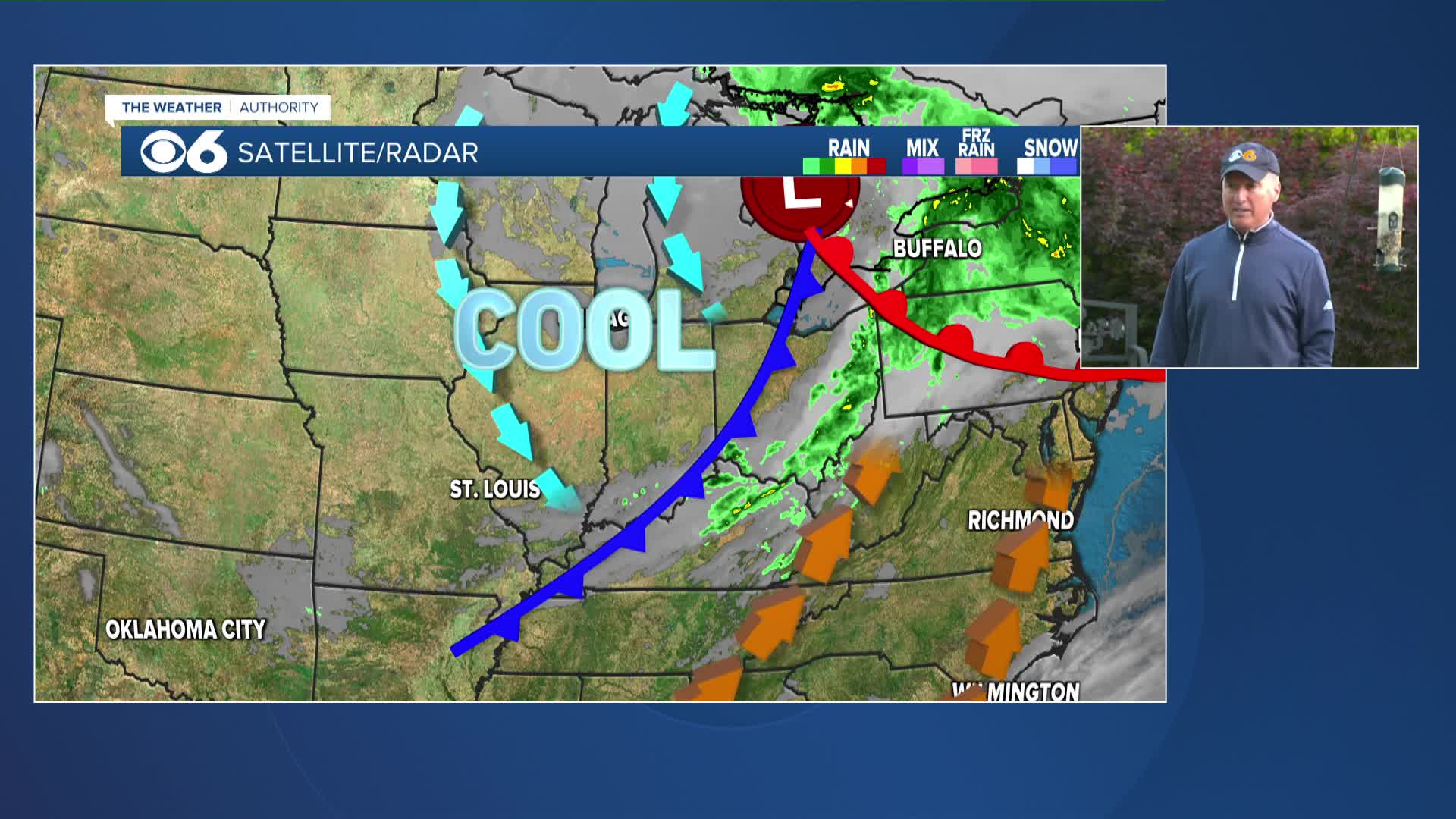
We are tracking another storm system currently approaching northern Florida that is sending us cloud-cover Thursday, and will send us precipitation late Thursday night into Friday.

Precipitation will arrive in southside Virginia late Thursday night close to Midnight, and should begin as a mix of sleet and snow roughly west of I-85. The mixed precipitation will reach the metro area in the pre-dawn hours Friday (starting 4-5AM), with light sleet and freezing rain possible before a changeover to all rain by early Friday morning (8AM). Areas north and particularly west of Richmond will have a chance to see a very light accumulation of sleet and snow, likely remaining less than an inch. The chance for an inch or two of snow and sleet will lie along and west of the HWY 29 corridor from Culpeper to Charlottesville to Lynchburg.
The rain will come to an end shortly after midnight late Friday night into early Saturday morning well before dawn. Rain totals look like they will range from about an inch to 1.5" in central and eastern Virginia Friday.
-Carrie
PREVIOUS POST:
RICHMOND, Va. (WTVR) -- An upper-level disturbance over central Texas (below) will move eastward Thursday and Friday, spreading precipitation into Virginia late Thursday night through Friday.

Strong high pressure over New England will push a colder air mass into Virginia tonight through Thursday, and this cold air will still be in place as moisture arrives from the approaching storm system. This setup will result in mixed precipitation across a large part of Virginia, with a gradual transition to rain in all areas throughout Friday morning.
Far eastern, southeastern, and southern Virginia will only see rain, but the chance for a mix will increase farther north and west across the state.

The potential for snowfall accumulation looks very low, with less than an inch possible well north and west of Richmond.

On a different note, a stronger system will impact the area March 13th/14th. There are hints that this system could take a track far enough south and east to bring accumulating snow to central Virginia. We'll continue to monitor subsequent model data and bring you updates as a dependable forecast track becomes evident. For frequent weather updates, click here and follow me on Twitter, and click here to "like" me on Facebook and get the weather updates on your timeline.
-Zach


