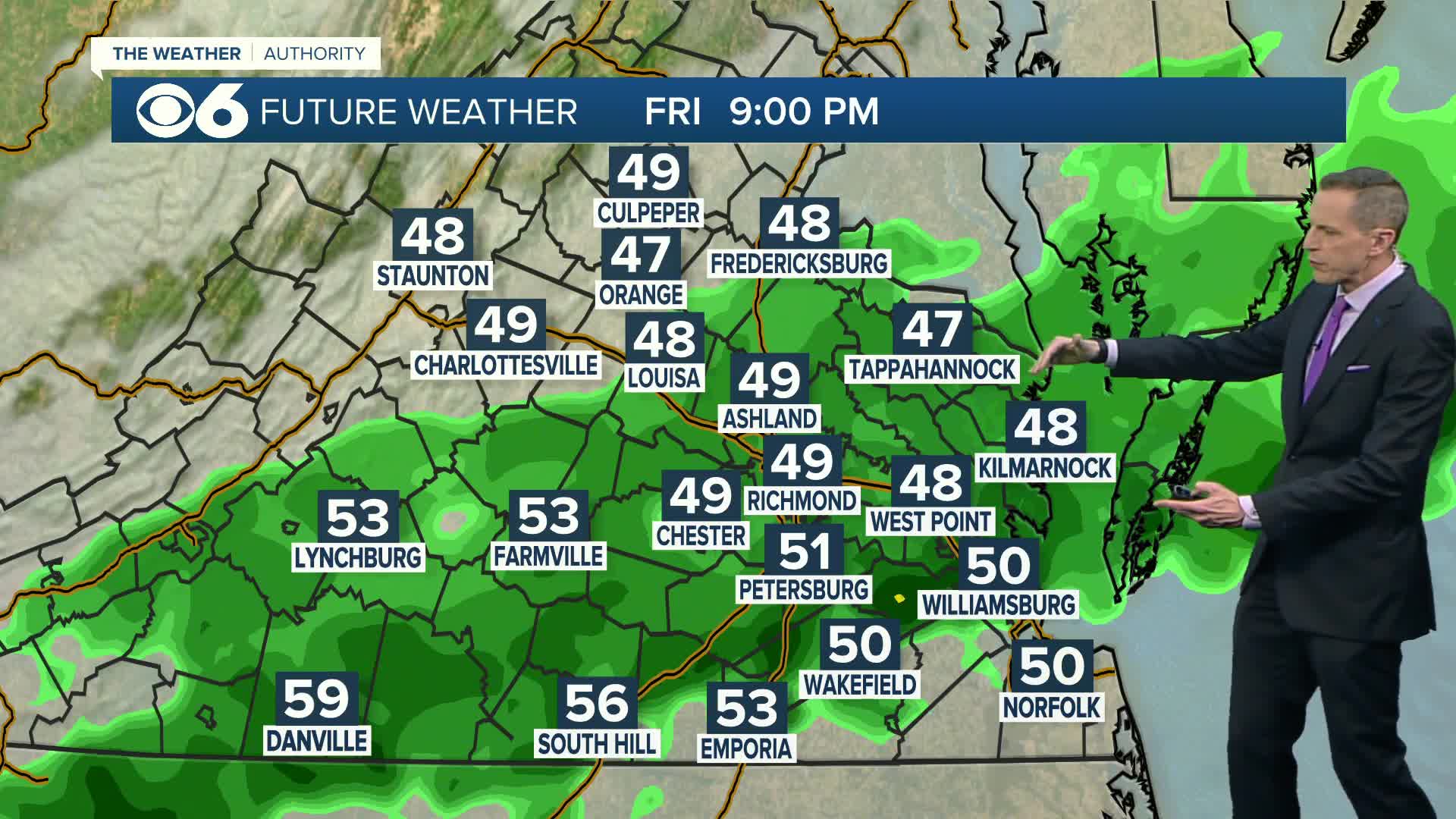
RICHMOND, Va. (WTVR) — The rain has finally ended across the Commonwealth as Post-tropical Andrea continues to race northeastward.
The rain associated with our first named storm of the year began yesterday across western Virginia, and continued to spread eastward and become heavier overnight and throughout today.
The rainfall total at RIC reached 1.75″ by 2 PM, breaking the old record for today’s date of 1.68″ set exactly 100 years ago.
The total rainfall for the day at RIC was 2.67″. Other parts of the state received much more, especially in a swatch between Charles City and Wakefield, where 7-8″ of rain was reported.
Widespread flash flooding occurred due to the heavy rainfall rates during the afternoon and evening hours.
The three graphics below show the rain totals for the state, as estimated by Doppler Radar.
The typical overestimation of this product has been adjusted for:


The rain across western Virginia has been running off and flowing into the James River, and the river level in central Virginia has been rapidly rising this evening.
The graph below shows the 10 PM river level of 7.9 feet, with the river reaching the “action” stage of 9 feet a little after midnight.
The river is then expected to crest early Saturday morning as it just reaches minor flood stage. (all of this is at the Westham gage)
The greatest pressure gradient and resultant winds from Andrea were located east and south of the center, and did not affect central or eastern Virginia.
A tornado watch was issued early in the morning, followed by another that expired at 8 PM, but no warnings were issued, and no confirmed tornadoes were reported. -Zach
Click here to “Like” Zach on Facebook
Click here to follow Zach on Twitter


