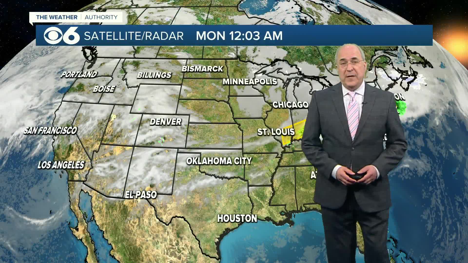
RICHMOND, Va. (WTVR) – The storm system that has had a deadly history of severe weather this week as it has slowly tracked out of the Plains and into the Great Lakes will impact Virginia today. The dynamics with the storm system are a lot weaker than they were a few days ago.
The air-mass in our region has become increasingly humid and warm enough to support instability for scattered thunderstorm development in central Virginia through the evening. A cold front attached to the low pressure storm system will move toward us tonight, and we’ll also have a pulse of upper-level energy swing over the Mid-Atlantic today. These factors will enhance the potential for isolated strong to severe thunderstorms, capable of damaging wind gusts, large hail, heavy downpours and frequent lightning.

The best timing for strong to severe storms will be from mid-afternoon through 11 p.m., which is when the cold front will be sweeping through central Virginia toward the coast late tonight. Storms should be scattered, meaning that while some of you are getting poured on, others may have mostly sunny skies only miles away.
Our severe weather set-up is not like what happened in Oklahoma on Monday, so our threat for tornadoes is slim to none. However, the damaging wind threat (gusts 60 mph or stronger) is certainly feasible here.
Stay with CBS 6, we’ll keep you ahead of the storm.
CLICK HERE to download our CBS 6 news and weather apps to alert you on the go.
Meteorologist Carrie Rose
“Like” Carrie on Facebook
Follow Carrie on Twitter


