Interactive Radar | NEW RadarScope | LIVE Tracking Sandy Updates |
Closings and Delays | Share Your Photos | All Hurricane Sandy Stories |
Facebook | Twitter |
Sandy continues as a Category 1 hurricane with max sustained winds of 75 m.p.h. A slight strengthening is expected as Sandy transitions into a powerful low/nor’easter as it makes landfall late Monday and early Tuesday near the Delaware Bay.
Coastal flooding is already occurring in the Northern Neck and Middle Peninsula, where water levels are as much as 4 feet above normal. The photo below was shot and sent by Chris Stanley at Stingray Point at 2:30 p.m.
Moderate to heavy rain continues to fall in eastern Virginia, with light rain approaching the metro area. Winds in Richmond have been sustained at 15-25 m.p.h, gusting to 35 m.p.h.
There were recorded wind gusts in Norfolk of 52 m.p.h earlier this afternoon. Rainfall totals along the eastern Northern Neck and eastern Maryland Peninsula, and Hampton Roads are ranging from 1 to 3 inches so far.
Expect the wind and rain to continue to steadily increase overnight. We should wake up to moderate to heavy rain in the metro, with sustained winds of 20-30 m.p.h, gusting up to 40 m.p.h.
Heavy rain will continue throughout the day, with sustained winds of 30-40 m.p.h, and gusts to 50 m.p.h. by sunset. The worst part of the storm will occur from 8 p.m. Monday to 8 a.m. Tuesday, where heavy rain will combine with sustained winds of 35-45 m.p.h., gusting up to 60 m.p.h.
The graphic below shows wind speeds/gusts and advisories/warnings. The orange is a high wind warning, and the tan is a wind advisory.
Storm total rainfall will range from 3-6 inches in the Richmond Metro, with higher amounts north and east. The graphic below indicates what I expect for the entire event, and other than adding a 9+ inches for the eastern shore, remains the same as a couple of days ago.
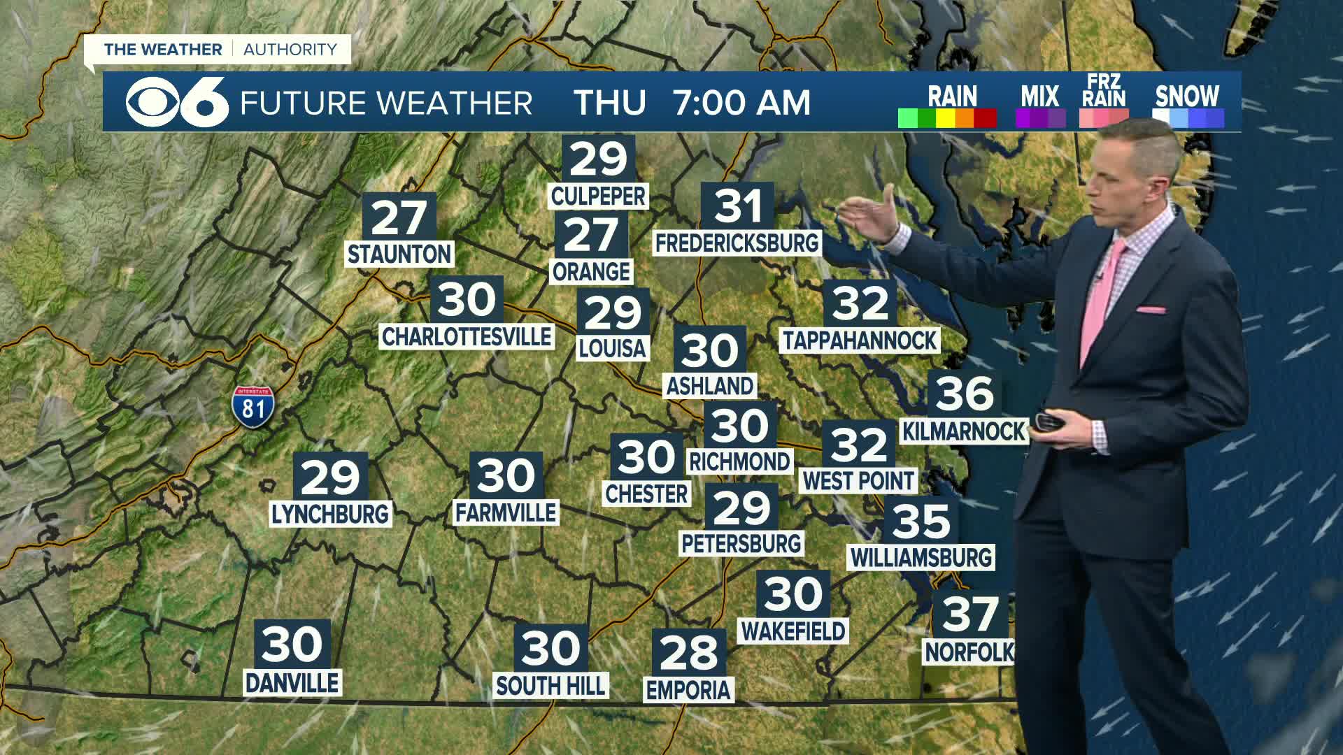
Enough cold air will wrap into the system late Monday night into early Tuesday morning for some heavy wet snow. Temperatures at the surface will be well above freezing, so I do not expect any issues with this other than a little added excitement and wonder.
Much heavier snow is expected in the mountains, especially across West Virginia, where 2 to 3 feet will be possible. Click here for storm photos, reports, and weather updates on my facebook page. -Zach
TRACKING SANDY: Stay with CBS 6 and WTVR.com for complete coverage
- LIVE updates on Sandy from the CBS 6 Newsroom (Bookmark and share this page!)
- CBS 6 Storm Team: Sandy's impact on Richmond and Central Virginia
- Latest Sandy-related closings and delays
- TRACKING SANDY: Important phone numbers
- Share your Hurricane Sandy photos
- Virginia makes emergency preparations as Sandy nears
- VIDEOS: Social media sites show Sandy’s impact on coastal Virginia, North Carolina
- POLL: Are you ready for Hurricane Sandy?
- 13 things you need before the hurricane arrives
- Tips on how to prepare for a storm or hurricane
- Election officials prepared for Hurricane Sandy
- How Sandy was dubbed ‘Frankenstorm’
- Governor McDonnell declares state of emergency
- Richmond mayor declares local state of emergency ahead of Sandy
- Airlines let travelers change tickets, fee-free, due to Hurricane Sand
- Richmond readies for Sandy, will open emergency shelters
Stick with CBS 6 News and WTVR.com as we ride out the storm together. Depend on us for the most complete coverage, with the most experienced reporters and most accurate forecast!


