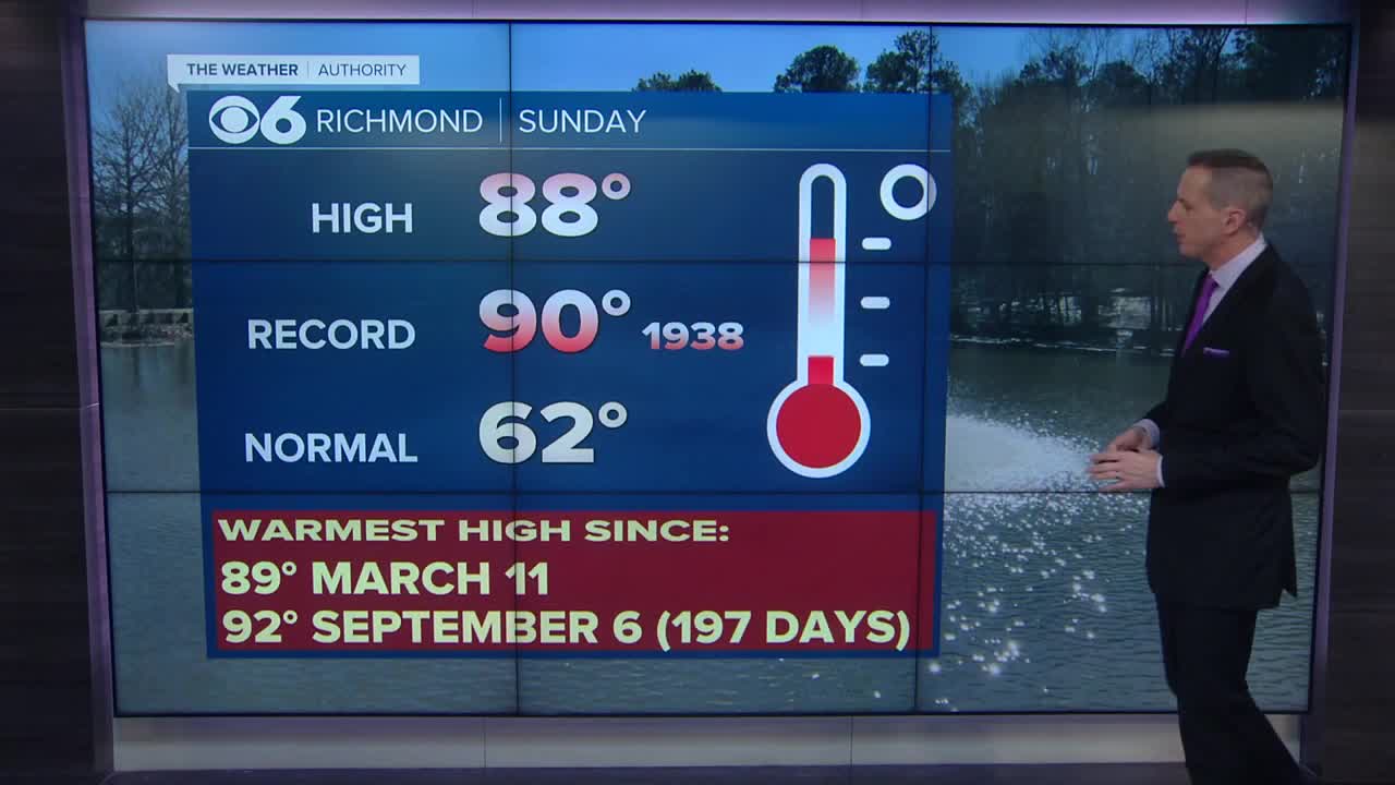
RICHMOND, Va. (WTVR) – Scattered strong to severe storms are possible in much of the eastern U.S. today as a result of an upper-level trough swinging from the Great Lakes region eastward. It will tap into a warm, humid air-mass to produce heavy thunderstorms capable of damaging wind gusts and hail, as well as downpours and frequent lightning.
In Maryland and Delaware, there will be the enhanced threat for isolated tornadoes, as well. But in Virginia, we’ll likely be dealing more with damaging wind gusts and potentially some large hail from any severe storms that form. Still, an isolated tornado cannot be ruled out in the Commonwealth, either, especially with wind shear in the region from the upper-level storm system that can encourage storm rotation.
Morning cloud-cover has been mixing out rapidly, leading to plenty of sunshine in central Virginia and creating optimum heating conditions for the rest of today. Highs by this afternoon should reach the upper 80s to around 90 degrees, with dew point temperatures remaining in that “really uncomfortable” range of the upper 60s and low 70s. That indicates there is ample moisture in the atmosphere to rain out, and quite heavily, too.
The timing of storm activity today will likely be from mid-afternoon (2-3 p.m. start) through mid-evening (ending around 9-10 p.m.).
Stay with CBS 6, we’ll keep you ahead of the storm.
Meteorologist Carrie Rose
“Like” Carrie on Facebook
Follow Carrie on Twitter


