Following some morning rain, skies brightened for some sunshine on Sunday, allowing temperatures to reach the upper 40s to mid 50s across the region. This was the warmest day since February 9th.
This warmth follows a period from Thursday afternoon through Saturday morning that produced four new record temperatures. The records for Friday’s high and Saturday’s low were broken by 9° each.
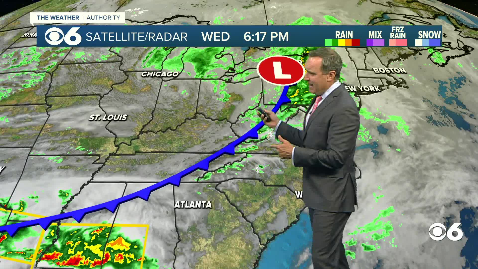
A cold front will bring colder air back for Monday into Tuesday this week. After a slight jump in temps on Wednesday, more cold air will return to finish out the week. This will not be as cold as the air from last week, but highs will still be 14° to 20° below normal.
It looks like milder weather will move back into the area next Sunday into Monday. Following that, the computer models are indicating that arctic air may stay far enough north to not affect us for the remainder of the week. This would produce temperatures near or above normal.
Stay With CBS 6, We’ll Keep You Ahead of the Storm


