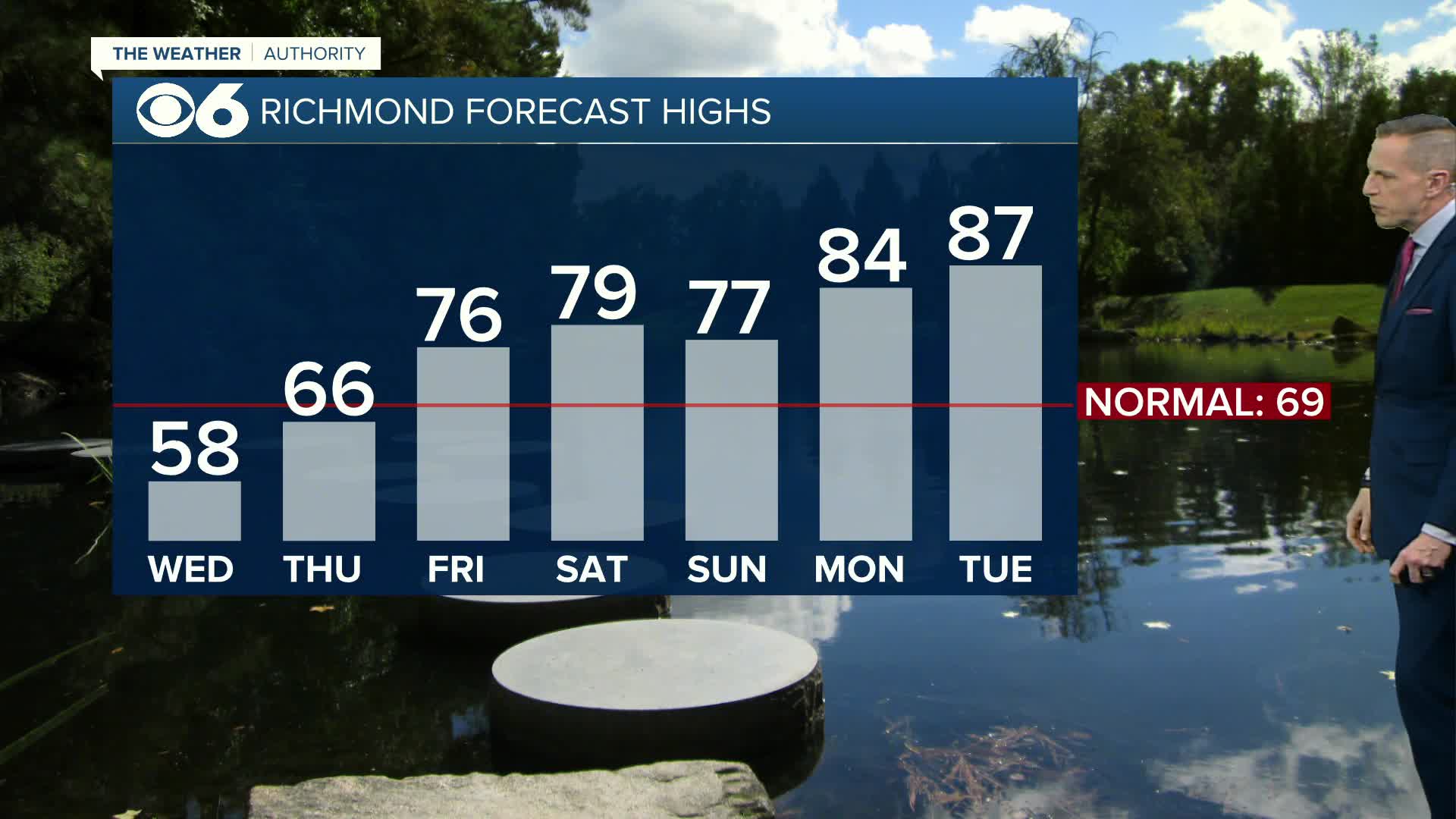
After the near-record heat and high humidity last week, we saw a bit of a break over the weekend. Summer officially began, astronomically speaking, at 6:51 a.m. Saturday, June 21.
More heat and an increase in humidity will occur this week as the jet stream locks into a hotter pattern. Highs will be in the lower 90s and dew points will be in the 65-70° range, producing heat index values in the mid to upper 90s.
This hotter trend may be a sign of things to come. The National Weather Service’s Climate Prediction Center released their outlook for the rest of the summer, and the extended models indicate temperatures may average above normal. It looks like rainfall will be fairly close to normal.

The outlooks indicate the northern Plains will see a cooler and wetter than normal pattern, while the Gulf Coast may see below normal rainfall. That is, unless a tropical system hits the Gulf Coast.


