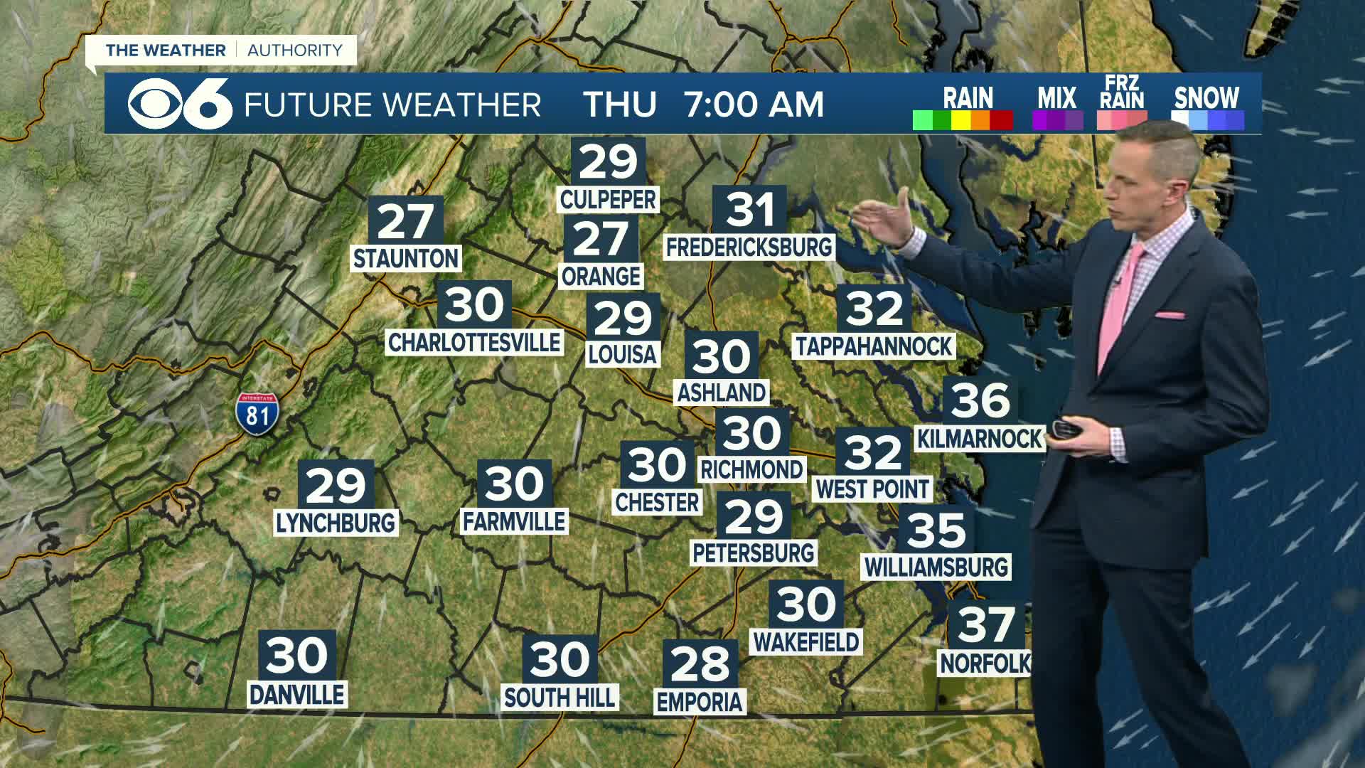
It should come as no surprise to anyone that after we reach the low 70s on Saturday, we’ll be staring down another bout with wintry weather the very next day.
This scenario will be a function of split flow, much like our last system, where colder air seeps into the area from the north, and lift and moisture arrives from an impulse imbedded within the southern stream. Sunday will start dry, with increasing clouds and precip across the area from southwest to northeast throughout the afternoon hours.
Rain will begin in the metro area by late afternoon, with snow farther north and west.
Here’s a snap shot of 5 PM Sunday:
Rain will change to sleet and snow Sunday night into Monday morning as colder air continues to move into the region. There will be a warm layer present in the mid-levels of the atmosphere that will result in sleet and freezing rain across much of central Virginia as well.
Here’s a snapshot of 7 AM Monday:
The storm will come to an end late Monday, with a few inches of a mix of sleet and snow possible across much of central Virginia.
The large variance in totals is mostly due to the difference in the handling of the mid-level warm-air advection layer, and the resultant sleet and freezing rain that will occur. Here are a few snapshots of snowfall totals as depicted by the most recent runs (as of this post) of several operational models:
These totals will change, as they always do, as we get closer to the arrival of the storm.
I expect a winter storm watch to be issued for parts of the area this weekend, with a good chunk of central Virginia likely falling into winter weather advisory criteria Sunday night through Monday.
We’ll have our official CBS 6 snowfall forecast map this weekend. Use these links to “like” me on Facebook and “follow” me on Twitter to get weather updates on your timeline. -Zach


