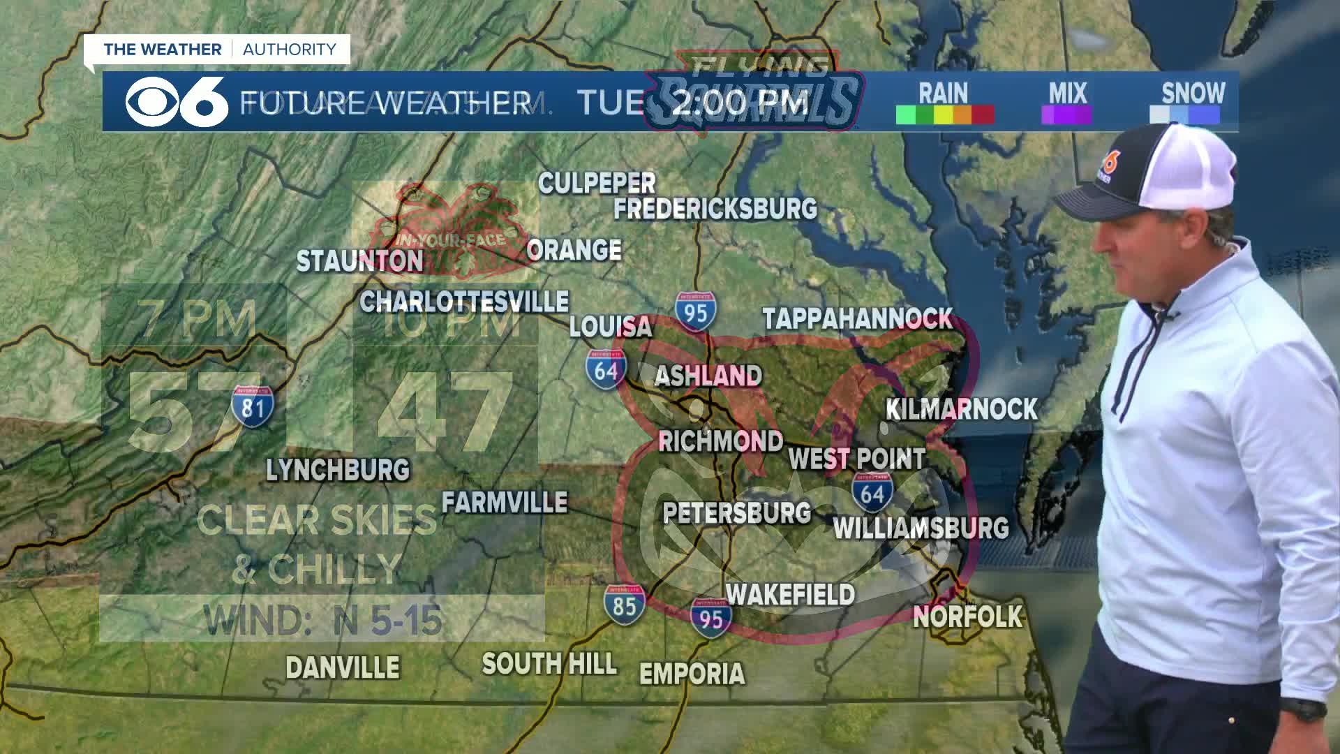
RICHMOND, Va. (WTVR) -- The powerful storm that has affected the southwestern United States into the Plains will move into our area on Tuesday.
Precipitation will begin as rain for most of the viewing area Tuesday morning into midday. It may be cold enough at the onset to produce mixed precipitation or freezing rain well north and west of Richmond, mainly in the mountains and across far northern Virginia. Those areas will switch over to plain rain in the afternoon.

Periods of rain will be heavy at times Tuesday afternoon, Tuesday night and Wednesday morning. There is the potential for over two inches of rain in a 36-hour period. A few computer models are suggesting isolated totals near four inches.
As the system leaves the area later on Wednesday, cold air will be wrapped around the back side of the storm. This will allow the rain to switch to wintry mix, and then eventually some wet snow. The duration of this will not be very long, and road temperatures will remain above freezing. A grassy coating is possible where some snow showers persist. The best chance of this will be in northern and western Virginia.
We will dry out Wednesday night and Thanksgiving will be dry, chilly and windy. Dry and cool weather will last through next weekend.
Travel issues on Wednesday will plague the eastern United States. Heavy rain will be closer to the coast, with heavier snow in the interior sections of the northeast. Travel Thursday through Sunday will be mainly clear.
Download the CBS 6 News & Weather App for the latest weather updates, doppler radar and any weather-related news, closings or delays.
Stay With CBS 6, We'll Keep You Ahead of the Storm


