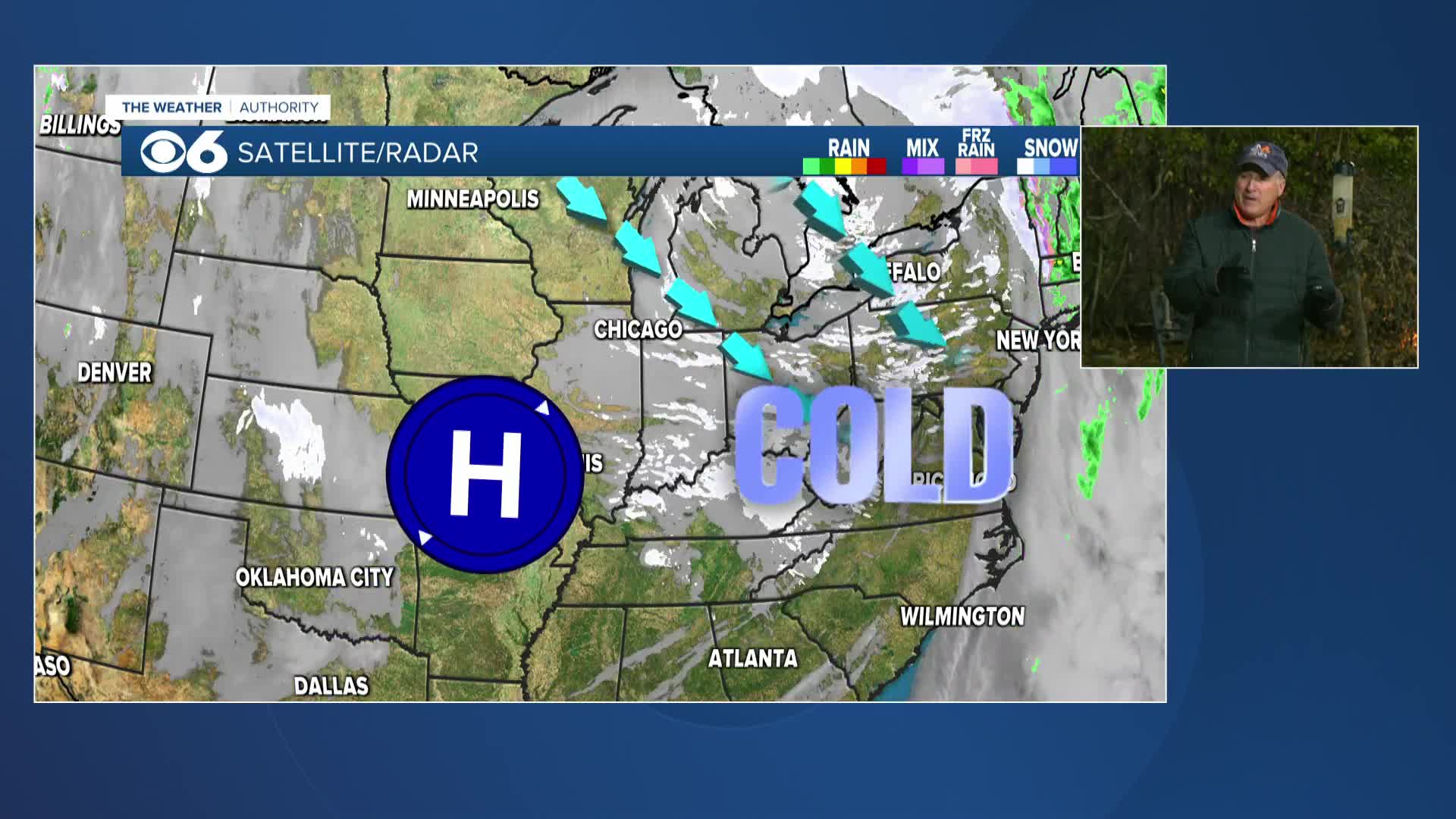
RICHMOND, Va. (WTVR) - A cold front is rushing southeast toward us, along with an upper-level disturbance that should triggering storms in our region through this evening.
The most unstable part of the Commonwealth is far eastern and southeast Virginia, which received more sunshine and heating, and thus, instability, so far today. That is where some of the storms could produce severe wind gusts in excess of 60 mph, as well as heavy rain.
But as the cold front arrives in northern Virginia around sunset, scattered strong storms could form along the boundary, as it serves as a forcing mechanism for storms. Any of those storms will have heavy rain, gusty winds, frequent lightning, and maybe even some small hail. I expect the storm threat to completely end by 1 a.m. as the front makes swift progress into southern Virginia, bringing in a drier and more stable air-mass.

The front will clear Virginia into North Carolina late Tuesday into early Wednesday, allowing a cooler and less humid air-mass to settle in for a couple of days.
Stay with CBS 6, we'll keep you ahead of the storm!
Download our FREE CBS 6 Weather and News apps HERE.
COMPLETE COVERAGE: Storm Tracking Links
- Latest Forecast
- Maps & Radar
- Interactive Radar
- SkyTracker Cameras
- Weather Blog
- Weather Warnings
- Hurricane Tracker
- DopplerMax 6 Storm Room
- CBS 6 Storm Team on Facebook
- Follow CBS 6 Storm Team on Twitter
Meteorologist Carrie Rose
Follow Carrie's weather updates for you on Facebook & Twitter.


