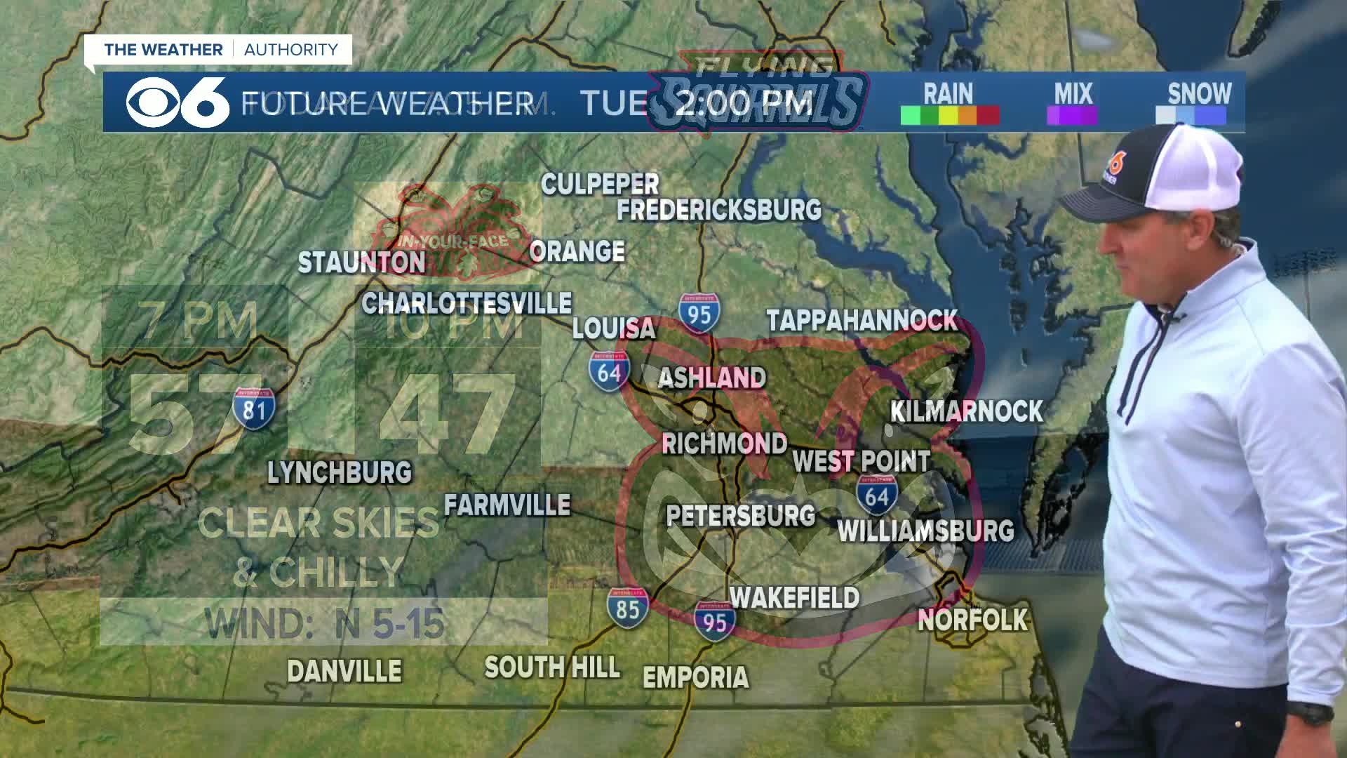
RICHMOND, Va. (WTVR) - The CBS 6 Storm Team is tracking the potential for more flash flooding and severe weather Monday in central Virginia.
After days of deluges in our area that began with Tropical Storm Andrea, the ground is saturated, and creeks and drainage areas are swollen. With a richly moist atmosphere still with us today, rainfall rates from thunderstorms could be one to two inches per hour. Therefore, a Flash Flood Watch is active for nearly all of Virginia until Midnight.

In addition to the flooding threat, there is also the potential (mainly this afternoon until sunset) for severe thunderstorms capable of damaging straight-line winds in excess of 60 mph. If storms are able to rotate, then there will be the additional threat for a tornado.

Meteorologist Carrie Rose
Stay with CBS 6, we'll keep you ahead of the storm!
TRACKING SEVERE WEATHER: |Interactive Radar | Closings | Facebook | Twitter | LIVE Video |


