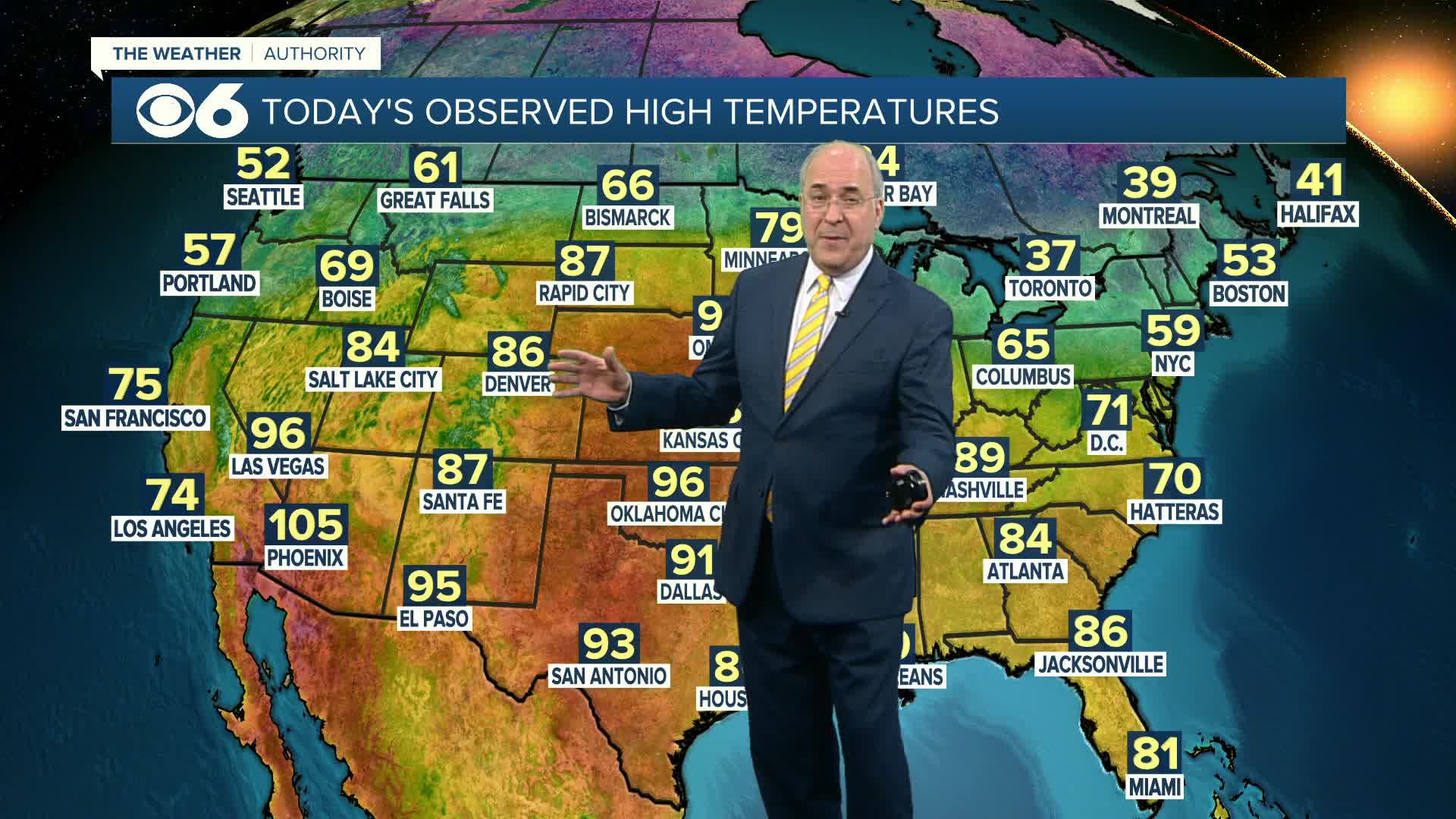
After a cold rain with highs barely above 50° on Thursday, highs returned to the low and mid 60s on Friday and Saturday. The much-discussed warm-up arrived on schedule Sunday afternoon. Morning lows dropped into the low and mid 30s early Sunday, but highs reached the upper 60s and lower 70s away from the coast.
The warming trend will continue through mid-week. Highs on Wednesday could surpass 85° in Richmond, making it the warmest day in about seven months. The record high for that date is 88° set back in 1922.
Temperatures on Thursday will be just a few degrees lower as clouds increase ahead of our next storm. That storm will drag a strong cold front through the area on Friday afternoon and evening with some potentially strong thunderstorms and heavy downpours.
Behind the system, cooler air will return next weekend with highs in the 60s and overnight lows Saturday night in the 30s.
As of now, the following week looks like we will see highs fairly close to normal with no 80° temps expected.


