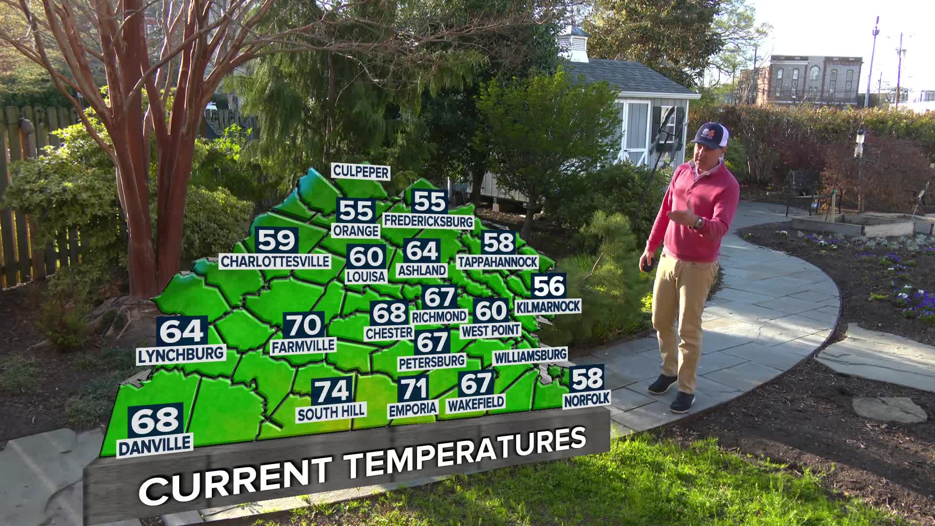
The storm system affecting the area is in two parts: the first part brought accumulating snow during the afternoon and early evening. The second part of the storm will bring more precipitation overnight. This may begin as rain or a mix before changing back to all snow. Temperatures hovering just above freezing will allow some of the accumulation to melt.
WEATHER LINKS: Forecast | Closings and Delays | Maps & Radar | Snow Photos |
SkyTracker Cams | Weather Blog | Warnings | 
Additional accumulation will occur with the second burst of snow between midnight and 9 a.m. Monday. The best threat for multiple inches of additional snow will be northwest of the Richmond metro area.
[RELATED: Download the CBS 6 app for your iPad/iPhone or Droid]

[BONUS: Click here to share conditions in your neighborhood]
STORM TRACKING TOOLS: Stay with CBS 6, We’ll Keep You Ahead of the Storm!
- Latest watches and warnings
- SkyTracker Cameras
- Maps & Radar
- Interactive Radar
- Weather Blog
- DopplerMax 6 Storm Room
- CBS 6 Storm Team on Facebook
Click here to share your winter weather photos and videos with WTVR.com. We’ll feature some of your submissions on CBS 6 News!


