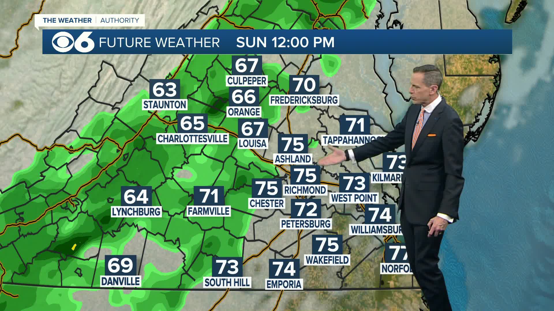
Saturday evening update: The model tracks have been pretty consistent this afternoon/early evening. We still envision a good period of rain, before a changeover to snow on Wednesday. The *potential* remains for an accumulating snow across the region, particularly Wednesday night into early Thursday morning.
-Mike Goldberg
As we have been talking about the last few days, we have the potential for a major storm in the Tuesday-Thursday time frame.
Just like any decent-sized storm this time of year, the exact storm track is pivotal. A change in track of 50 to 100 miles means the difference between flurries and many inches of snow.
A track well south of our area would mean more cold air in place, but the majority of the steady precipitation would miss us to the south.
A more northerly track would bring the storm right across the Commonwealth. This would keep warmer air in place for the majority of the storm, leading to more rain versus snowfall.
A track in between those two, a bit closer to our south, would be the track that would produce the greatest snowfall. Although the storm would start as rain Tuesday into Tuesday night, the rain would change to snow (from west to east) on Wednesday. As the storm moves off the coast, this would place us in a zone of moderate to heavy snowfall late Wednesday evening into Thursday morning.
A major factor in this storm is that surface temperatures will stay just above freezing until Wednesday night. So, even if the storm does end up producing heavy snowfall, a good portion of it will be wet snow that melts on impact. The surface temps will be the major wildcard in the accumulations.
Also of note to those who look at computer models online: this storm has been over the Pacific the past few days, and is just moving over western Canada. Of all the data that is fed into these models, the weather balloon observations are extremely important. Since the storm has been over water in recent days, the quality and depth of the data thus far has not been ideal. So, computer model forecasts will vary quite a bit the next few days as more comprehensive data is obtained.
Another item to keep in mind is that some websites produce snowfall accumulation maps. These maps do not take into account surface melting when temps are above freezing. And, many products assume a 10″ of snow to 1″ of water ratio. With the forecast temps as of now, the ratio may be smaller, like 8″ of snow to 1″ of water. This means that maps that assume as 10 to 1 ratio will show more snow than will actually occur.
We will continue to update the details on this storm over the next few days.
Stay With CBS 6, we’ll Keep You Ahead of the Storm


