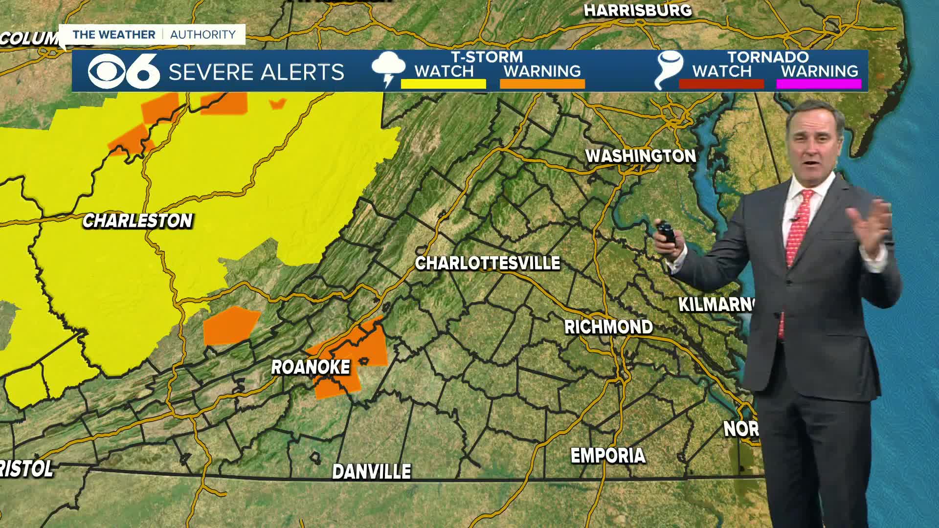
As we have mentioned the past few days, a big storm system will track through the area on Wednesday. This storm caused tornadoes in the southern United States on Christmas Day. Locally, the weather will not be as violent. Our viewing area will be sandwiched between winter weather to our northwest, and warm weather with strong storms to our southeast.
Precipitation will move into southwestern Virginia after midnight Tuesday night. Light precipitation could make it to Richmond by around daybreak. Areas south and southeast of Richmond should be just rain.
In the Richmond metro area, a brief period of mixed precipitation or freezing rain is possible before temperatures climb above freezing by mid-morning. The threat of icy weather in the metro is fairly low.
Areas well north and west of the metro will have a better chance of a wintry mix in the morning before some changeover during the afternoon.
Our farthest northwest counties have the best potential for seeing snow and ice accumulation with not much opportunity to climb above freezing before mid to late afternoon.
As warm air surges in from the south, strong storms are possible south and southeast of the metro. This storm will have a lot of moisture. Total rainfall (and melted wintry precipitation) should amount to an inch or more in most locations.
The latest advisories for the viewing area can be found here.
Stay With CBS 6, We’ll Keep You Ahead of the Storm


