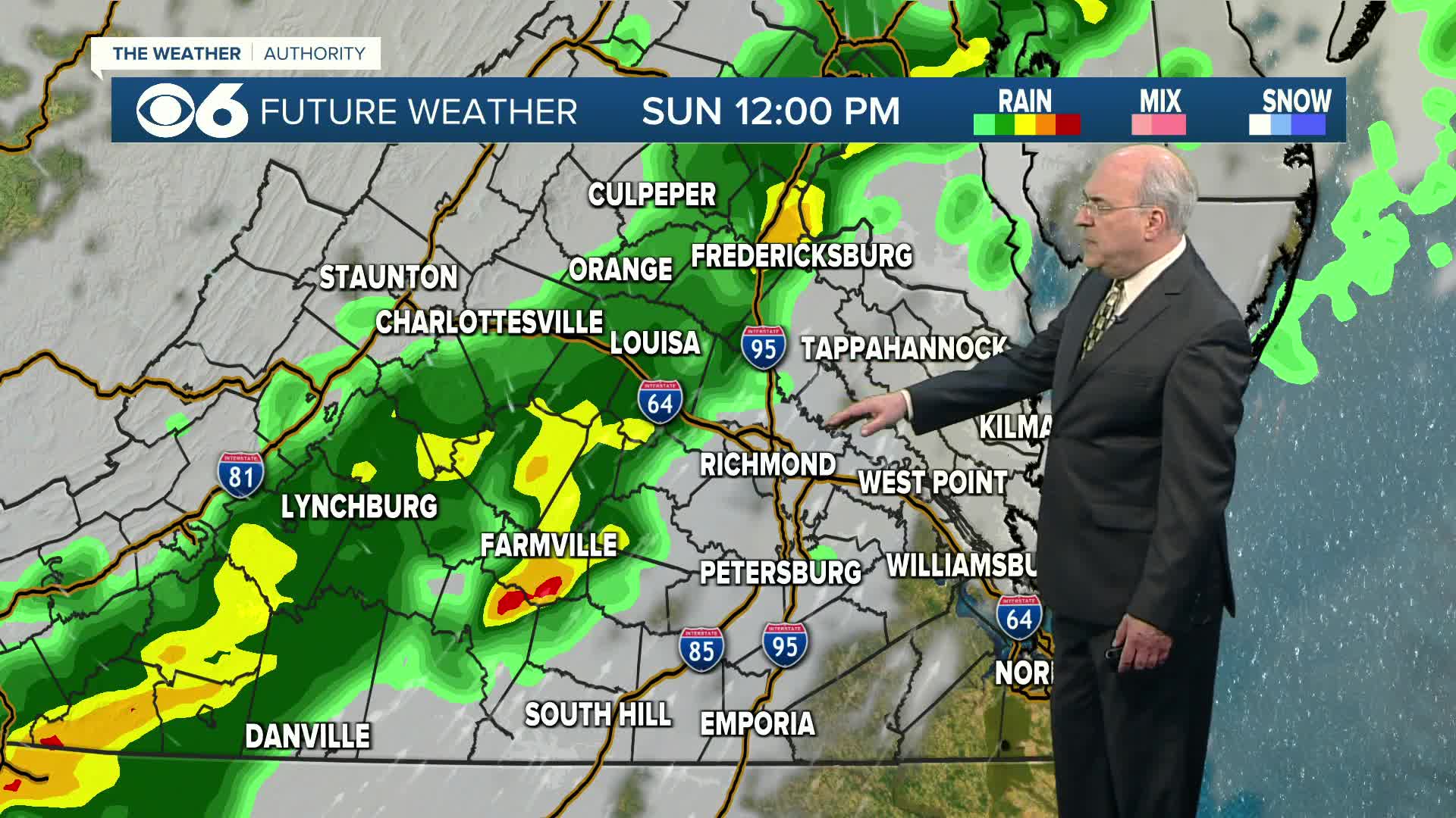
The overall weather pattern is now settling into a more active one. A series of storms will work across the country through next weekend.
The first one will spread some rainfall across parts of the area on Monday, with higher chances for rain west of interstate 95. It will be cold enough in the mountains for a brief period of some snow, sleet & freezing rain in the morning. A few slick spots are possible. There will be a better chance of icy weather close to the West Virginia border, and in eastern West Virginia. Here are the details about the latest advisories in effect.
Our weather will be dry for Christmas Day. A storm system will move through the southern Plains into the eastern United States from Tuesday into Wednesday.
For most of our viewing area, this will be entirely rain. However, temperatures Wednesday morning near the mountains will be right around freezing. There is the potential for some freezing rain during the morning across western Virginia. As warmer air moves in during the late morning and afternoon, temperatures will jump above freezing, ending any threat of freezing rain. The rainfall from this storm system could total between 0.50″ and 1.00″. Far southeastern Virginia will see temperatures surge into the 60s, and some thunderstorms are possible.
The third storm system will arrive for next Saturday. This one appears that it will be mostly rain. However, a few computer models take a slightly different track, which would mean the potential for some light snow — mostly for far western Virginia.
By the time these three storms pass the area, we may total well over 1″ to 1.5″ of rainfall. Much of the state continues to be very dry or in a moderate drought.
We will continue to monitor and update you on the storms over the next few days. There is also a sign of a storm in the January 2-4 time period. A lot will change between now and then, but this is just another signal that the overall pattern is turning more active.
Stay With CBS 6, We’ll Keep You Ahead of the Storm


