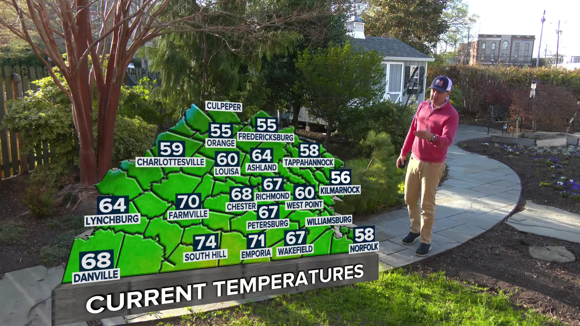
RICHMOND, Va. (WTVR) – Our extreme heat wave breaks today with the arrival of a slow-moving, southward-sagging cold front and its associated cloud-cover. This front as of mid-day Monday is draped across northern Virginia through the southern D.C. metro area. Ahead of the front this afternoon (especially along and south of I-64 where skies remained mostly clear this morning allowing for better instability to develop), we’ll have the potential for severe thunderstorms, capable of damaging wind gusts in excess of 60 mph and also some severe hail (about an inch in diameter). This is exactly what the strongest storms did over the past two days to our north as the front began moving south.
Overnight, scattered showers and storms may persist into the Tuesday morning commute, producing heavy rain and lightning, but the overnight severe threat is very low. Our greatest threat for severe wind gusts and hail will occur during the peak afternoon heating and higher instability.
Stay with CBS 6, we’ll keep you ahead of the storm.
Meteorologist Carrie Rose
“Like” Carrie on Facebook
Follow Carrie on Twitter


