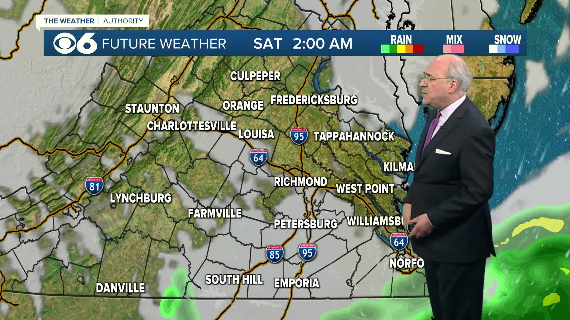
A storm system will bring a strong piece of energy and a cold front through the area very late tonight into early Friday.
Storms will start off widely scattered after midnight well west of I-95. As we approach daybreak, storms will turn more numerous and organized. The period between 4 am and 10 am will be the best window of opportunity for the storms.
In the metro area, storms will be likely during the morning commute, especially between 7 and 9 am.
The storms will track east of I-95 by late morning, and should clear the eastern shore in the early afternoon.
These storms will produce strong wind gusts, and some isolated storms could cause winds in excess of 60 mph. A severe weather watch may be issued for much of the area for the late night/early morning time period. Due to the history of this storm system, an isolated tornado cannot be ruled out, but the threat is very low. So, if a watch is issued, it will likely be a tornado watch, especially for areas near and south of I-64.
The line of storms could produce in excess of one-half inch of rain in some areas.
Skies will clear during the afternoon. So even though the first part of the day will be stormy, the second half of the day will be mainly clear and tranquil.
Updated Post, by Mike Stone, 6:10 pm Thursday, January 26
Previous Post, by Carrie Rose, 11:51 am Thursday, January 26
A broad low pressure storm system that has a history of producing severe weather and heavy rainfall from Texas into the Southeast U.S. will reach Virginia in the pre-dawn hours of Friday. Here's a view of the upper level vorticity reaching the Appalachian spine by Friday sunrise:
Thursday, southerly flow into the Mid-Atlantic ahead of the system tracking into the Ohio River Valley is transporting richer low-level moisture. This means that there will be greater instability present overnight into Friday morning once the upper-level lift arrives in addition to the approaching surface cold front. In purple, you'll see some relatively “weak” CAPE (an indicator of instability for thunderstorm development) reaching into central Virginia:
Therefore, a Slight Risk for severe thunderstorms will exist for the areas in yellow on this map, including extreme south-central Virginia:
Even if most of the Commonwealth technically does not have storms that reach severe limits, the rain and storms moving through pre-dawn Friday morning from west to east will likely contain gusty winds and heavy downpours. As of right now, the timing of that line's arrival in western Virginia is around 2-3 a.m. Friday, and affecting the I-95 region by 5-7 a.m. Rain should end in Richmond after 9 a.m., with rapidly clearing skies behind the surface cold front's passage late Friday morning. All of the Commonwealth will be dry by mid-afternoon Friday behind the cold front.
I'll be in early Friday morning monitoring the line of rain and storms as they track into central Virginia. If you're on Facebook, be sure to “Like” my page for updates there. You can also follow me on Twitter @SouthernRedRose.
Stay with CBS 6, we'll keep you ahead of the storm.
–Meteorologist Carrie Rose


