RICHMOND, Va. (WTVR) - It looks like March will come in like a lion, with yet another round of winter weather likely on Monday.
 We'll have a better handle on the timing and intensity of this event in the next 24 to 36 hours, but here's the latest on how this should play out for central Virginia as of this afternoon, using Richmond as a center point:
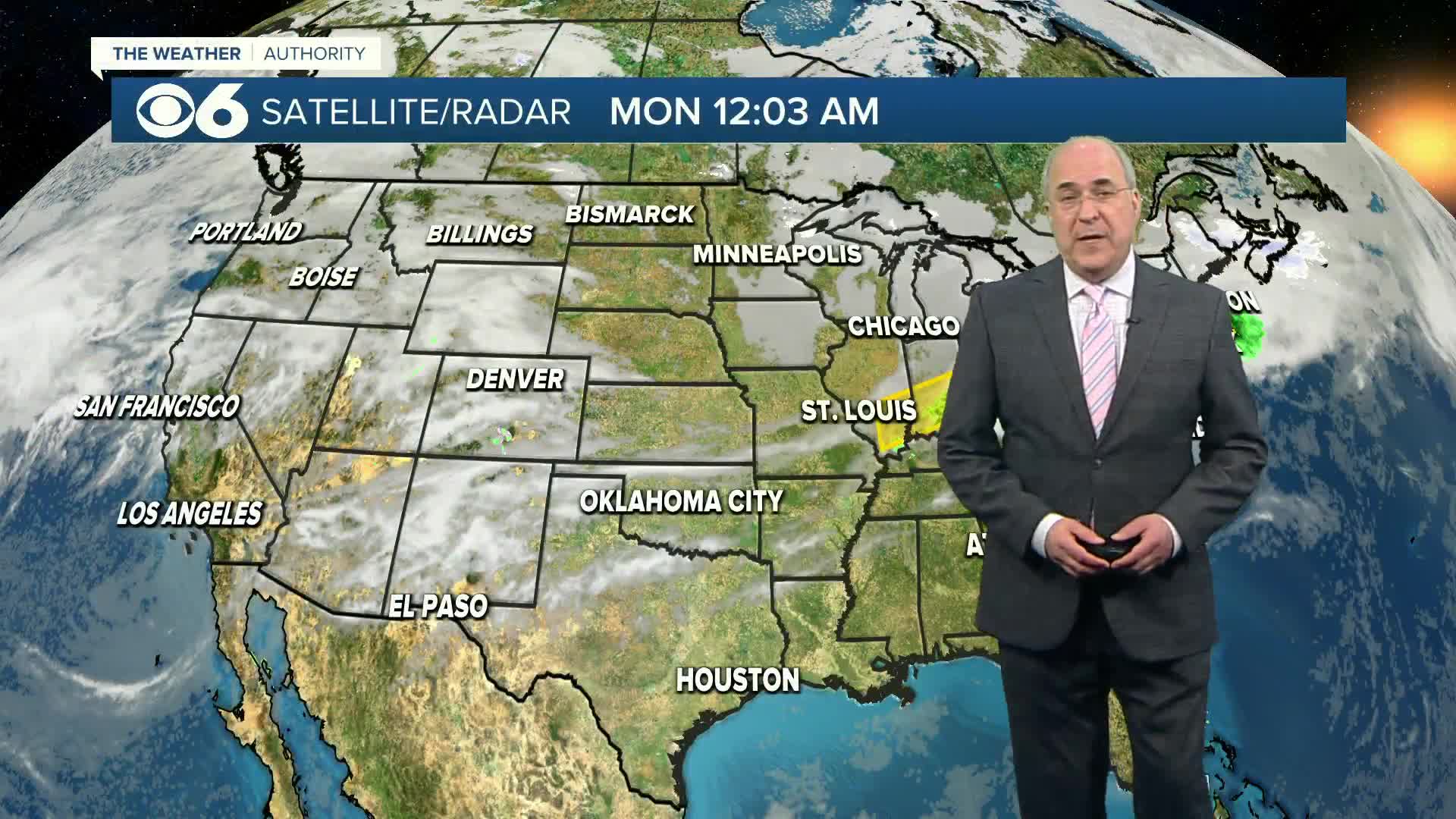
The setup will be due to a "split flow" pattern, with the northern branch of the jet stream controlling the southward extend of the arctic air, and the southern branch governing the track and intensity of the storm system and resulting precipitation. The storm system arriving here Monday is the same one currently producing flooding and heavy snow in California.
Download the WTVR CBS 6 Mobile App for updates, video and breaking news alerts. [iPhone/iPad Download Link | Android Download Link]
Rain will move into Virginia late Sunday afternoon and evening, arriving in central Virginia Sunday night as just a plain rain.
The front will arrive early Monday morning, likely a little before sunrise, and temperatures will rapidly fall below freezing. The cold air will initially be very shallow just behind the front, so we will continue to see rain falling, but it will be falling into near-surface air that is below freezing. A period of freezing rain for several hours is likely, leading to icing of trees, power lines, and all other elevated objects. Warm ground temps will initially prevent a quick icing on the roads, but this will change as surface temps continue to plummet into the mid 20s by noon.
The precip type will change to sleet and then to snow before ending, as the cold air continues to deepen across the area. The snow will end late Monday with very cold arctic air continuing to move into the region. The rapid drop in temperatures with this arctic front will result in very dangerous travel conditions, even if the precip totals are seemingly minor.
Regarding totals, and using Richmond as a center point, 1-3" of a combination of ice and snow appears pretty likely, with greater totals in the range of 3-6" possible across northern through western Virginia. Subsequent model data will help us in better determining the timing and impact of this event, so check back for blog updates and keep it on CBS 6 for the latest. Utilize the links below to keep the most up-to-date info coming to your desktop and smart phone:
Click here and "Like" Zach's facebook page for updates on your timeline
Click here and "follow" Zach on Twitter for updates on your feedClick here to download the CBS 6 News and Weather Apps to get the latest warnings, school closings, and forecasts
Stay with CBS 6, We'll Keep You Ahead of the Storm.


