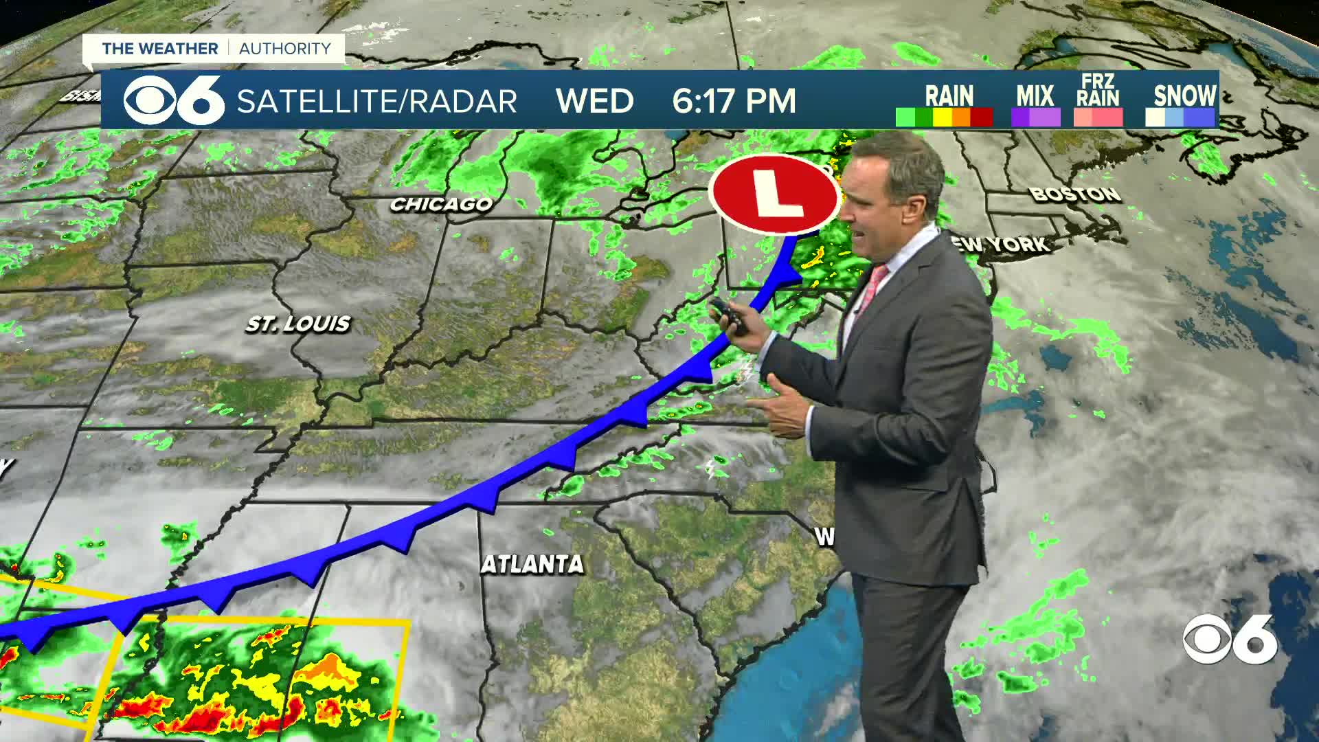
Since the middle of last week, we have been talking about the potential for a coastal storm for this week. The timing of the storm would be Tuesday night through Wednesday morning. There is still some uncertainty, but signs are that the storm can’t be written off just yet. One thing that is certain is that it will be cold enough for snow. Arctic air will be in place Tuesday into Wednesday.
An area of low pressure will move off of the southeastern U.S. coast, around Georgia and South Carolina. This low will track to the northeast between Monday night and Wednesday.
A lot of the computer model runs over the past five days have kept this storm just far enough offshore to have little or no impact on Virgina. Some factors support this, like a “trough” over the eastern U.S. (which would push the storm away from the coast) and an area of high pressure building into the region from the west. Locally, it would mean dry weather or some flurries for Richmond, and perhaps some light snow near Virginia Beach.
Some isolated computer models over the same period have suggested a track a little farther westward. These models do not use the same strength or positioning for the trough and the high pressure. If this solution verifies, it would mean the western edge of the snow will probably go just west of I-95. This could result in some accumulation in Richmond, but it would also mean at least a few inches of snow closer to the coast.
While the overall trend the past few days have jogged the overall track a little more westward, they have not locked into the pattern which would produce the heaviest snowfall. This is when the storm is still offshore, but close enough to the coast for us to get abundant moisture and strong winds. Due to the cold air in place, the precipitation would be all snow, except maybe some brief mixed precipitation right along the coast. This track would favor moderate snowfall for most of the state, with the axis of heaviest snowfall in central Virginia, close to I-95. While this scenario would produce the most snowfall, it is not quite the track of classic nor’easters. This scenario is the least likely for the storm.
Of course, we will continue to monitor this situation and update. The position and complexity of the storm are such that a shift in track by just 100 miles means the difference between nothing and a major snowfall. The actual track may also be something in-between the three scenarios outlined above.
Regardless of the storm’s outcome, the overall pattern will modify so that we will see warmer weather next weekend into the following week.
Stay With CBS 6, We’ll Keep You Ahead of the Storm


