Clear skies, light winds, and dry air will combine to allow overnight lows to fall into the upper 20s and low 30s across most of the state.
A freeze warning is in effect for areas of the state that have yet to experience a freeze so far this fall season. The graphic above shows the areas shaded in purple where freezing temperatures are likely.
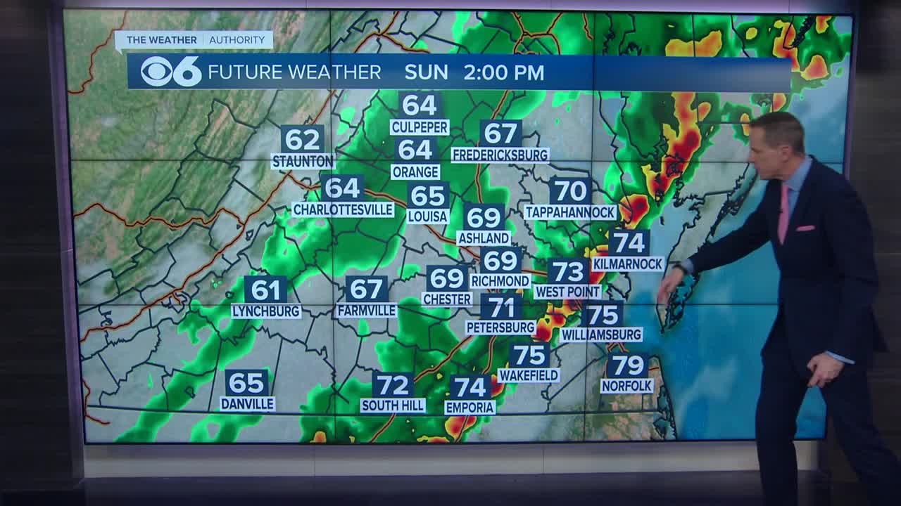
The graphic above shows the progression of an upper-level low pressure system over the next 48 hours. The low will induce a strong surface low off the Carolina coast that will strengthen into a nor’easter during the day Wednesday.
Most computer models have shifted the track far enough east to keep most of the impacts from precipitation across far eastern Virginia, but this track could easily change.
I’m keeping a chance of rain mixing with snow in the forecast for Richmond, but with surface temps remaining a little above freezing, any accumulation will be tough to come by.
I’ll be looking forward to seeing how the models handle the track later tonight and early Tue. Stay tuned. -Zach


