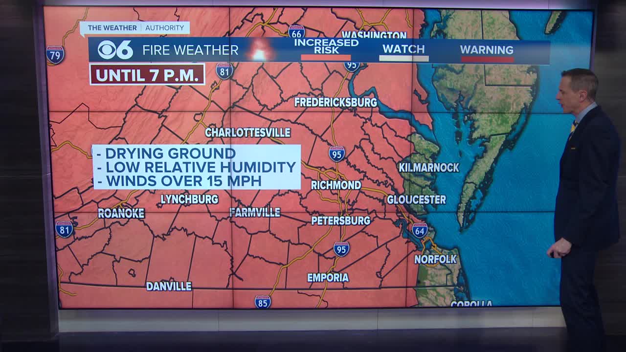
RICHMOND, Va. (WTVR) - A powerful storm system is rolling through the area from the west Friday.
The National Weather service issued several tornado warnings during the afternoon and evening. All of those warnings have expired.
However, nearly all the Commonwealth is under a tornado watch until 9 p.m. Other portions of the state are under a watch until 2 a.m. Saturday.
Dominion Virginia Power reports the storm knocked out power to around 16,000 customers as of 9 p.m.
There have also been several downed and uprooted trees across the area. Carrie Rose said some areas have also likely experienced widespread wind damage.
The strong storms will move through the area this afternoon and into the evening as a cold front approaches, linked to the surface low currently moving through the Ohio Valley region.
[RELATED: Click here for latest severe weather alerts | SkyTracker Cameras]

A Tornado Watch for part of the area is in effect until 2 a.m. Saturday.
Much of the East Coast states will be impacted by this storm system, and you can see that in the large Slight Risk area issued by the Storm Prediction Center, and a focused Moderate Risk area for parts of north-central and northeast Virginia.
This afternoon, where skies have been mostly sunny allowing optimum heating and instability, we anticipate the first storms to develop and rapidly intensify. These storms along and east of I-95 will be capable of damaging wind gusts in excess of 58 mph, large hail, heavy downpours, and lightning. An isolated tornado or two cannot be ruled out, either.
This scattered thunderstorm activity will continue in central Virginia through the afternoon, but by 6 p.m., a squall line in western Virginia will take shape. This line of strong to severe storms stretching from north to south will be driven ahead of the approaching surface cold front (which will pass I-95 after Midnight).
The squall line will be capable of embedded "bow segments," which can produce localized wind damage similar to that of a small tornado. So regardless of whether a warning is a severe thunderstorm warning or a tornado warning this afternoon and evening, you should take the same safety precautions!
Move indoors, putting as many walls between you and the outside of the building as possible. Get to the lowest level, with a basement being ideal. Stay away from glass and windows. Put helmets on, especially the kids.
Storms will end in the metro around midnight, and areas well east of I-95 by 2 or 3 a.m. The area will dry out by daybreak Saturday.
DEPEND ON CBS 6 NEWS AND WTVR.COM FOR COMPLETE SEVERE WEATHER COVERAGE:


