RICHMOND, Va. – Thursday’s rain was welcome in Virginia, but it sadly came with the severe impact, as well. Lightning sparked a fire at a church, trees were damaged and caused damage when they fell, some roads and backyards flooded, stranding some vehicles. The worst story of the day came from the Eastern Shore, where a waterspout moved onshore as an EF-1 tornado, with winds estimated 80 to 100 mph. Two people were killed at the Cherrystone Campground as a result of falling trees from the tornado, and more were injured. CLICK HERE to read the official storm report.
The rain in central Virginia was much-needed, but it clogged roads and drainage areas.
The good news is that the heavy rain helped a part of the state that has been drier than the rest of central Virginia.
Look at our updated departure from normal (year-to-date) rainfall map today:

However, much of our deficit is building this Summer. So let’s just look at the past 30 days of the state rainfall deficit, which shows we’re still falling behind by an inch to three inches for rainfall this time of Summer:

You can see the yellow area in the heart of central Virginia did shrink a bit from Thursday’s rain (see previous blog update), but we’re still lagging behind.
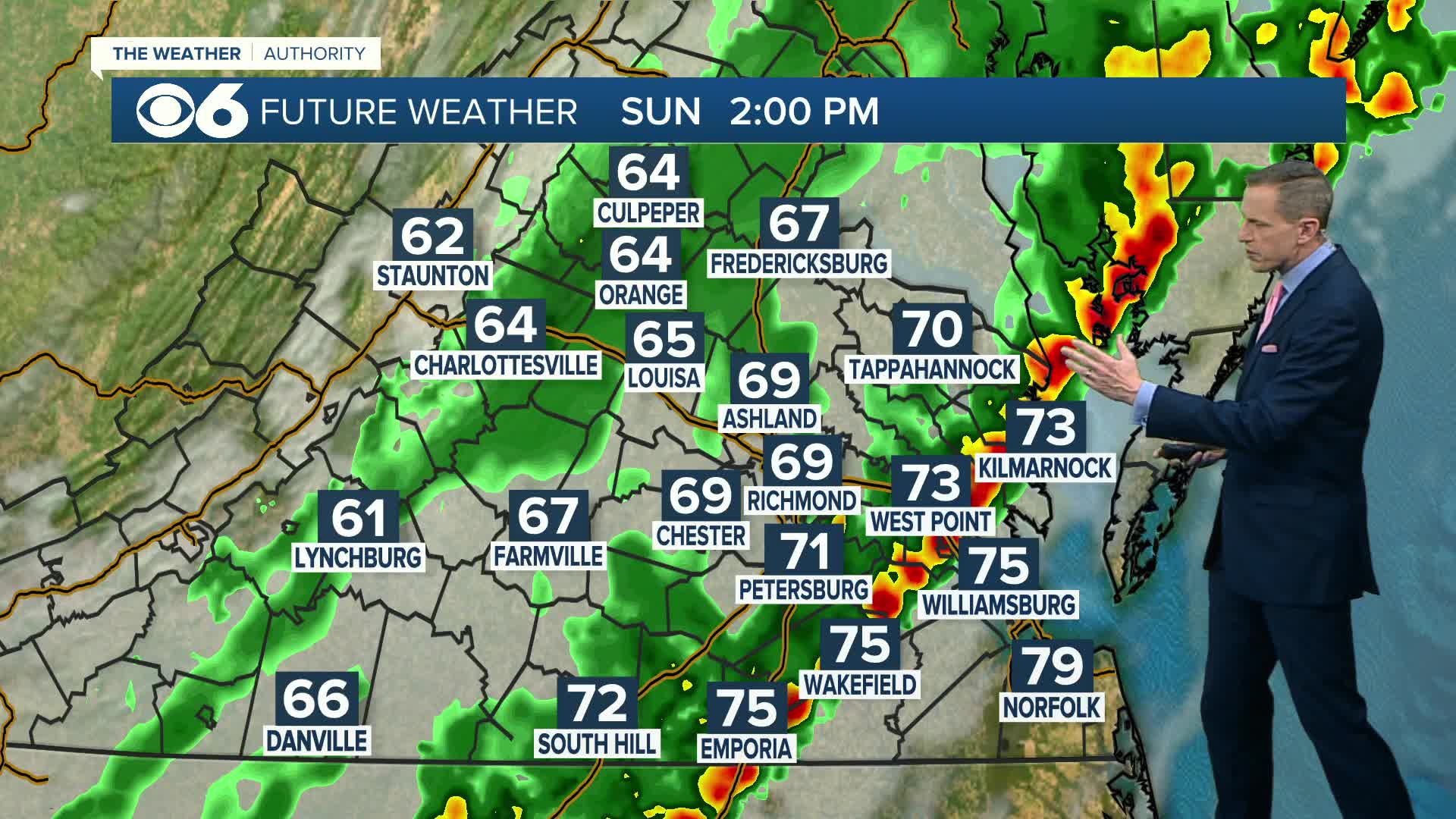
We do have the threat for more heavy rain (and, unfortunately, severe thunderstorms) Sunday.
Stay with CBS 6, we’ll keep you ahead of the storm.


