RICHMOND, Va. (WTVR) — Richmond International Airport recorded a high of 72° Saturday, missing the record high set in 1956 by one degree.
Prior to the rain arriving Sunday, Richmond hit 76°, breaking the old record of 74° from 1923. Richmond also set a record for warmest low temperature, beating the previous record of 55° set in 1923.
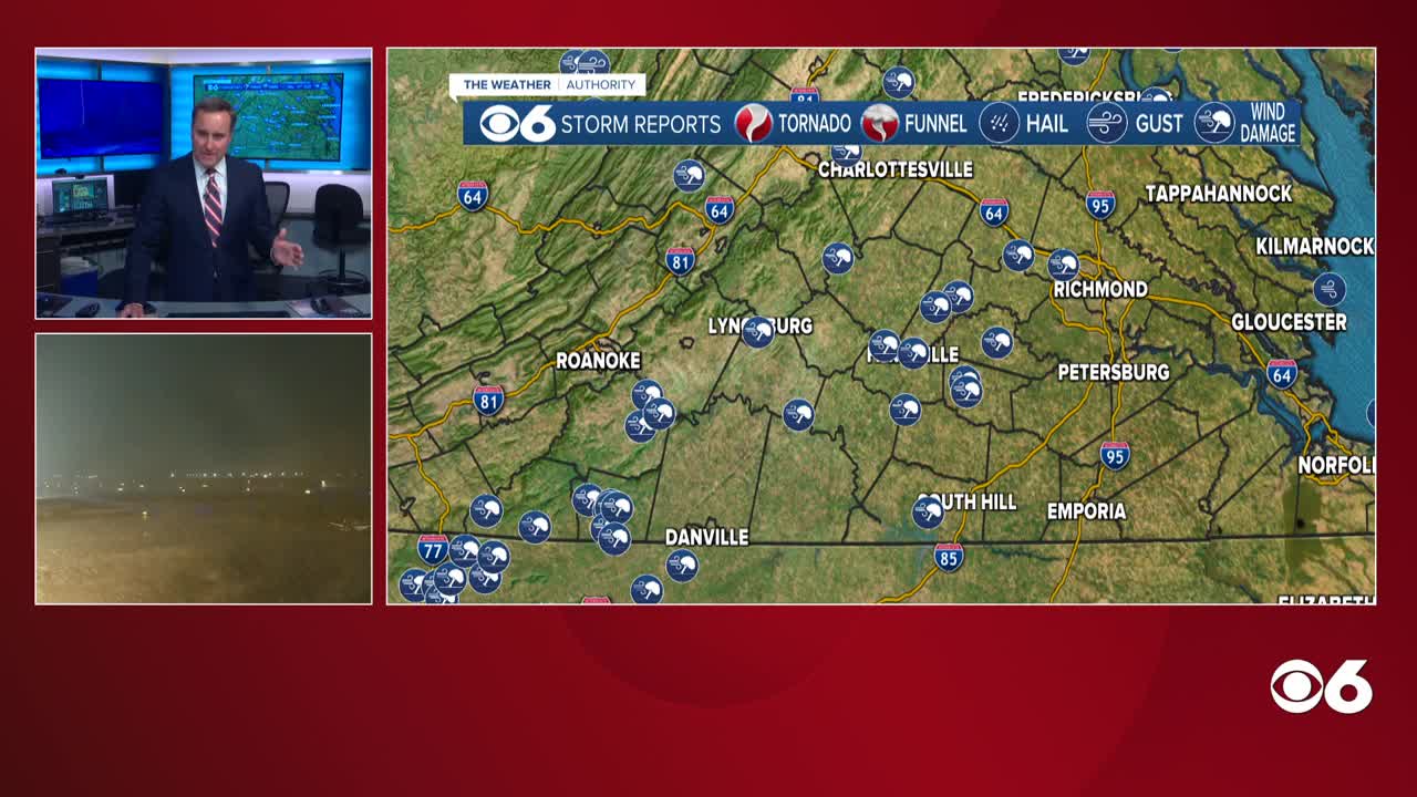
The next phase of the storm for Virginia will be periods of heavy rainfall during Monday. [LINK: Use Interactive Radar to track rain]
A cold front will slowly cross Monday and stall. As an area of low pressure moves along it, there will be a prolonged period of moderate to heavy rainfall.
Rainfall amounts of 1 to 3 inches are possible by Monday evening. An average of about a dozen computer models put the Richmond rainfall around 2 inches. A few of the models even suggest close to 4″ is possible in spots. [DOWNLOAD: CBS 6 News App to track rain on the go]
While we are on the warm and rainy side of the storm, the wintry side hit the Plains up through the Great Lakes into New England. Icy weather is being followed by accumulating snowfall.
Locally, temperatures will be cooler Monday with temperatures starting out in the 60s during the morning, but then falling through the 50s during the day.
Much colder air will invade the area in time for Christmas Eve. We will see a mix of clouds and sunshine with afternoon highs only in the low to mid 40s. There is a very slight chance that a disturbance may cause a few flurries, mostly north of I-64. Midnight temperatures will average in the low 30s, with overnight lows well down into the 20s. Christmas Day will offer plenty of sunshine, with afternoon highs close to 40°.
COMPLETE COVERAGE: Storm Tracking Links


