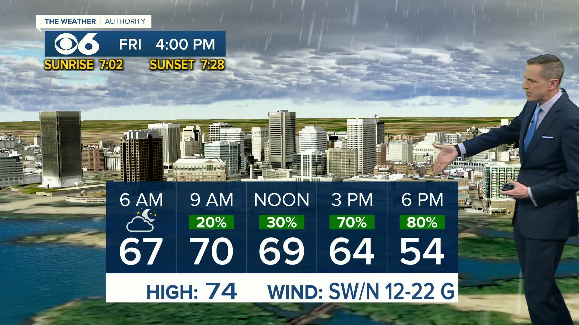
Our region will be stuck in a stagnant weather pattern through the middle of the week. The jet stream has carved out a dip to our west, and an area of low pressure isn’t going to move much. A large area of high pressure off the east coast is preventing the jet stream and the low from making much progress eastward.
This means as disturbances move through the area, occasional rounds of showers and storms will get unleashed and tap into the high humidity. While there will be many dry hours each day with breaks in the clouds, there will be periods each day where heavy rainfall will occur.
Slow-moving thunderstorms will have the potential to produce an inch of rain in less than thirty minutes, so there will be the threat of localized flash flooding. Locations impacted by repeated storms between Sunday and Tuesday could pick up very heavy rainfall, possibly exceeding three inches. Since the rain and storms will be scattered, some neighborhoods will pick up heavy rainfall while others will not.
The risk for severe weather is low during this period, but an isolated storm or two could produce high wind gusts or some hail.
By the end of the week, the high pressure to the east will win out and push westward, causing the area of low pressure to move away from us (also known as “retrograding”). The humid weather will remain through the week into next weekend, but the dry weather will allow temperatures to soar back into the low and mid 90s, producing a heat index around 100°.
Download the CBS 6 News & Weather apps to access the latest forecasts, radar, warnings and streaming newscasts and weather updates.
Stay With CBS 6, We’ll Keep You Ahead of the Storm


