A large area of disturbed weather in the eastern Gulf of Mexico has formed into the first tropical storm of the year for the Atlantic basin.
The National Hurricane Center investigated the disturbance with a reconnaissance aircraft Wednesday afternoon and found a closed circulation with measured wind speeds of 40 mph. Tropical storms contain sustained winds of 39 mph or higher.
Tropical storm warnings have already been issued for western Florida, with tropical storm watches in place across the coastline of the southeastern United States.
Andrea’s forward motion will rapidly increase over the next 48 hours. A landfall in the Florida panhandle will occur Thursday evening, and the storm will eventually cruise through eastern Virginia on Friday.
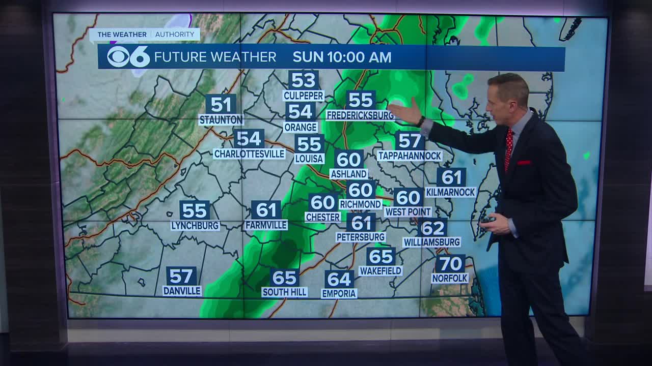
Local impacts to our viewing area from Andrea will be 1 to 3 inches of rainfall and winds of 35 to 45 mph. Rainfall and wind speed values will be higher near the coastline. The maximum effects from Andrea will be felt on Friday, with the system exiting quickly Friday night. So the entire impact of the storm will be less than 24 hours.
You can always get the latest storm information and forecast track in the CBS 6 Hurricane Tracker.
Stay With CBS 6, We’ll Keep You Ahead of the Storm


