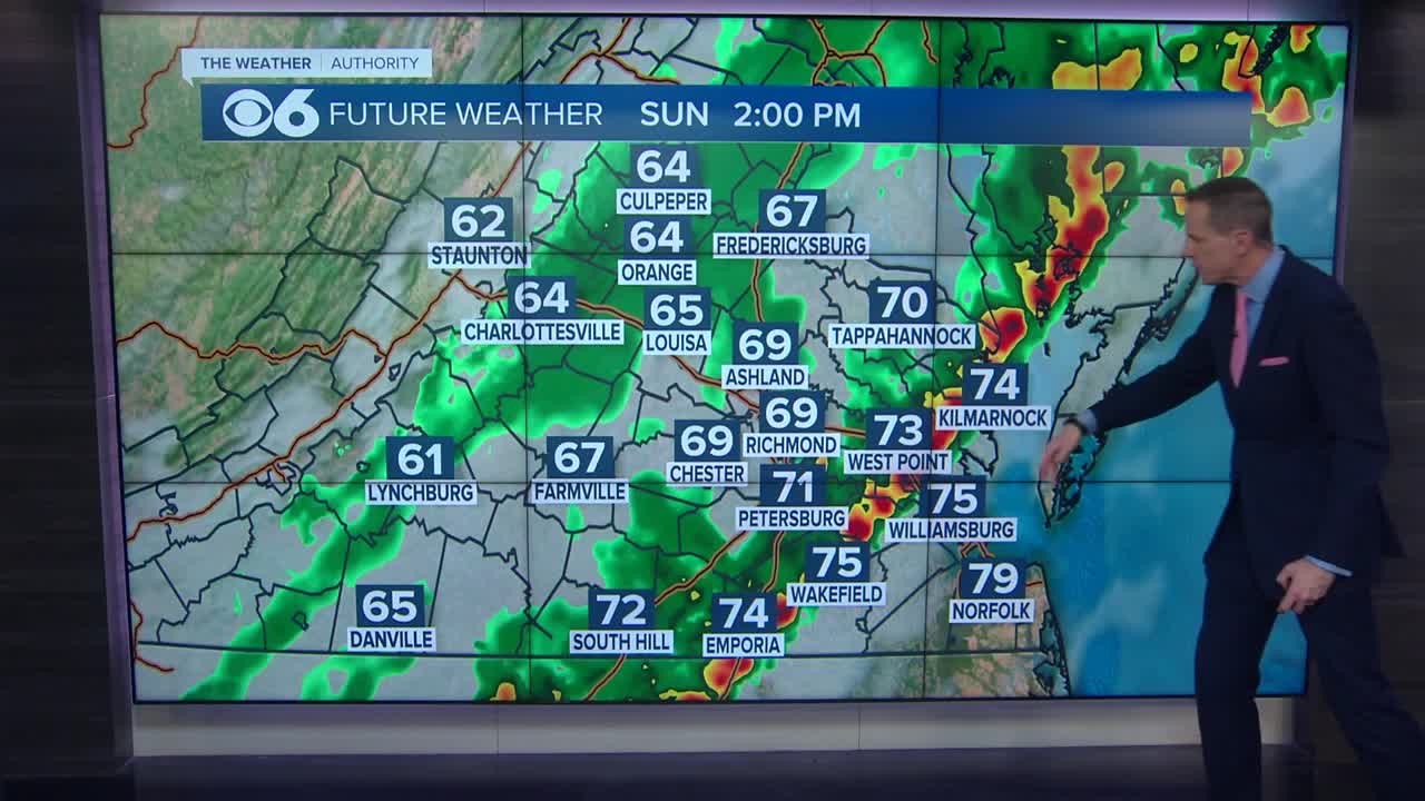
RICHMOND, Va. (WTVR) – The disturbance that has been over the southern Gulf of Mexico this week is beginning to organize a little better over the warm waters there, and may become a tropical depression or tropical storm over the next day or two as it moves northeast. If the system is able to organize enough before moving into Florida and Georgia, it could be named “Andrea.”
CLICK HERE for the full lists of upcoming storm names from the National Hurricane Center.

Regardless of what this system becomes, it is on track to ride up the East Coast, bringing us in Virginia a very good chance for widespread rain on Friday. Here is an ensemble of the various tropical forecast models displaying the tracks predicted.
An interesting point about this disturbance’s history is that part of its energy came from Hurricane Barbara from the Pacific last week. It made landfall in southern Mexico and lost its tropical characteristics inland. But a piece of atmospheric energy survived over Mexico into the southern Gulf of Mexico over the weekend. That energy merged with a broader trough of low pressure in that region, becoming what it is today.
CLICK HERE for our CBS 6 Hurricane Tracker.
Stay with CBS 6, we’ll keep you ahead of the storm.
Meteorologist Carrie Rose


